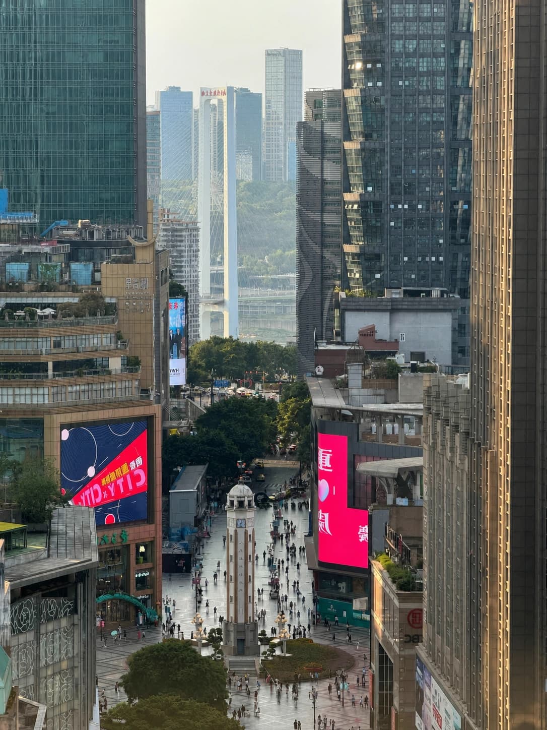
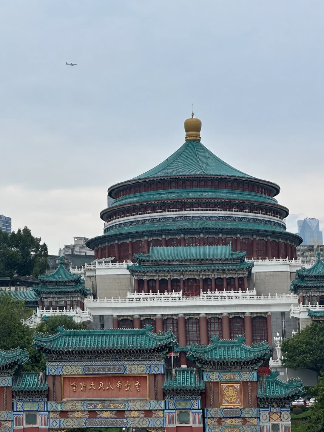
Mountain City Walkway Chongqing
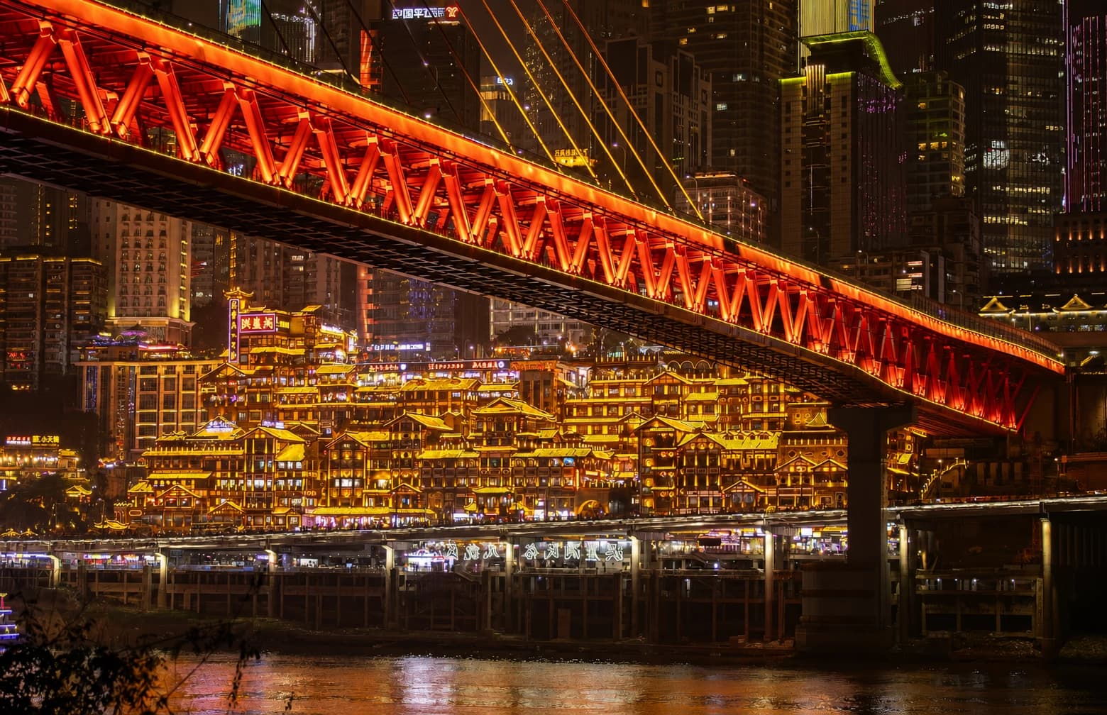
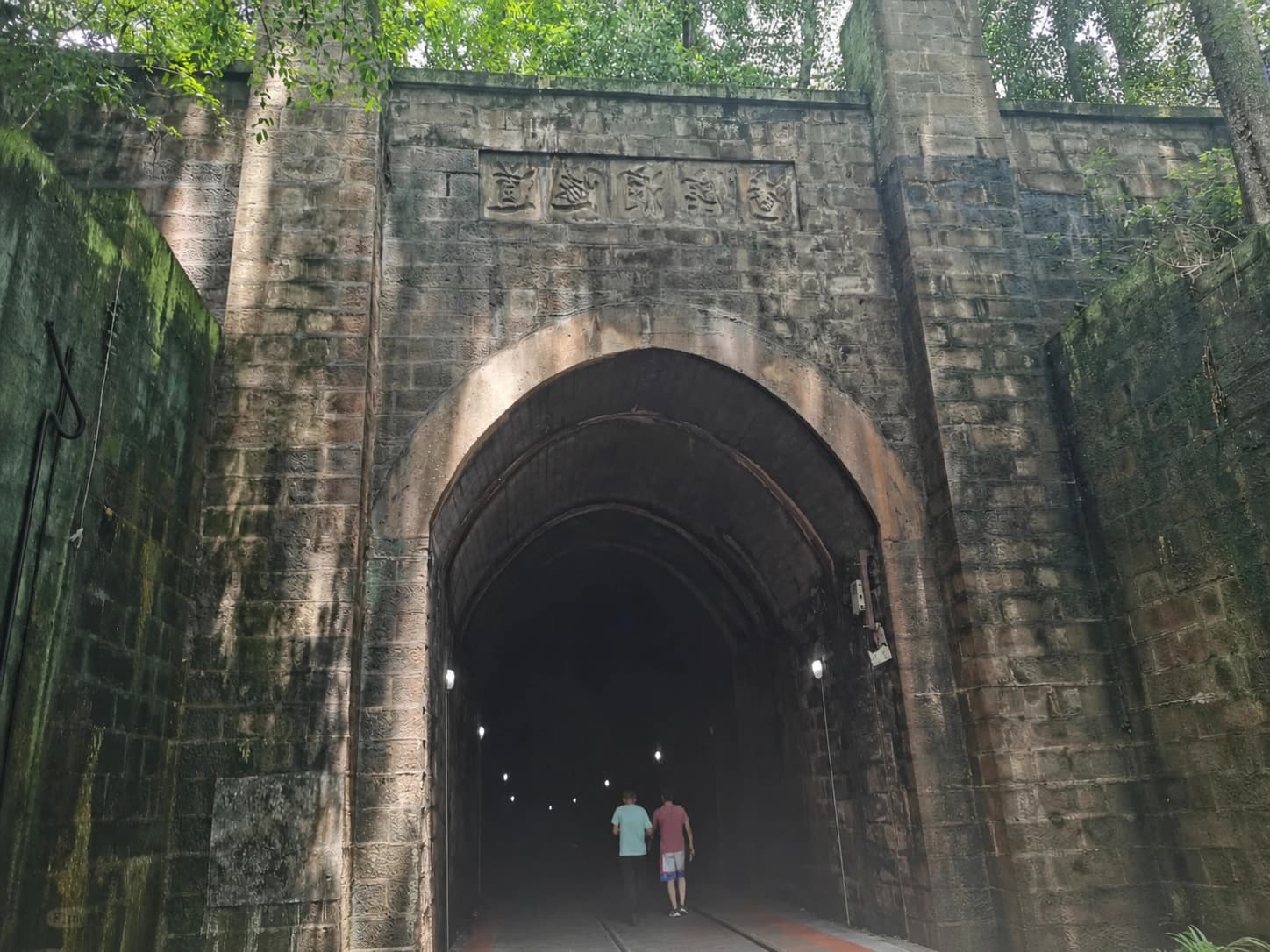
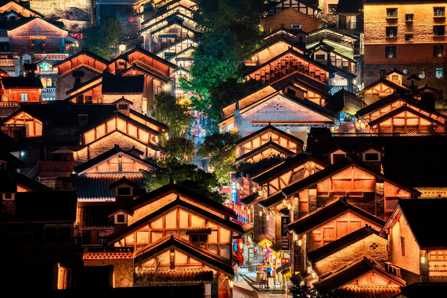
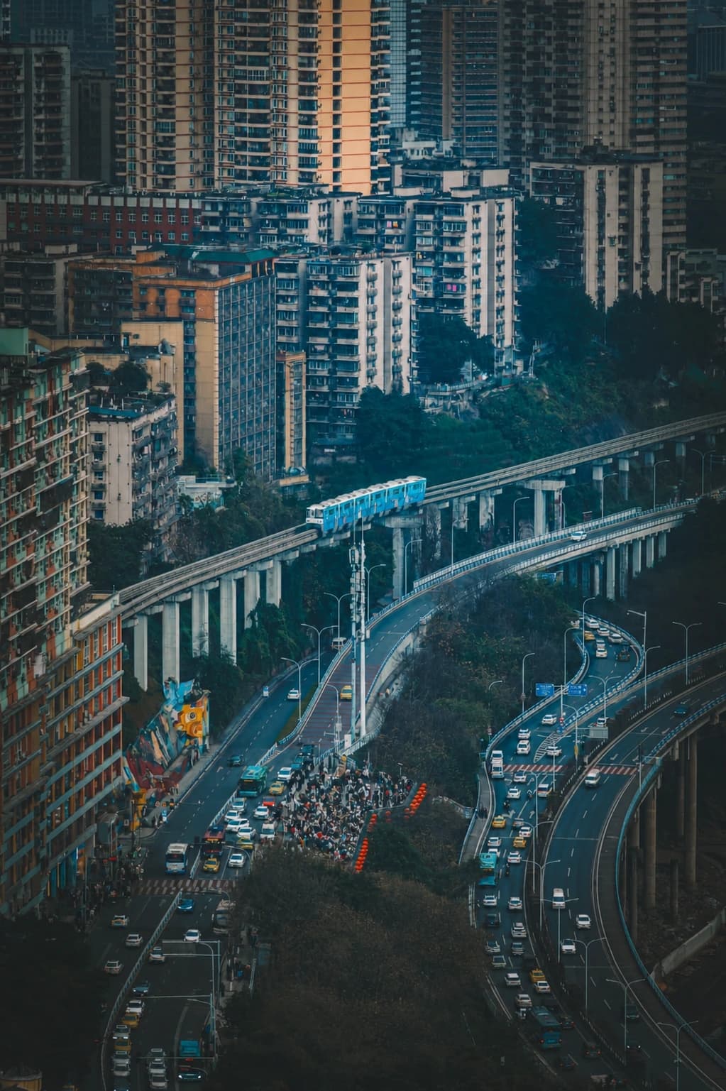
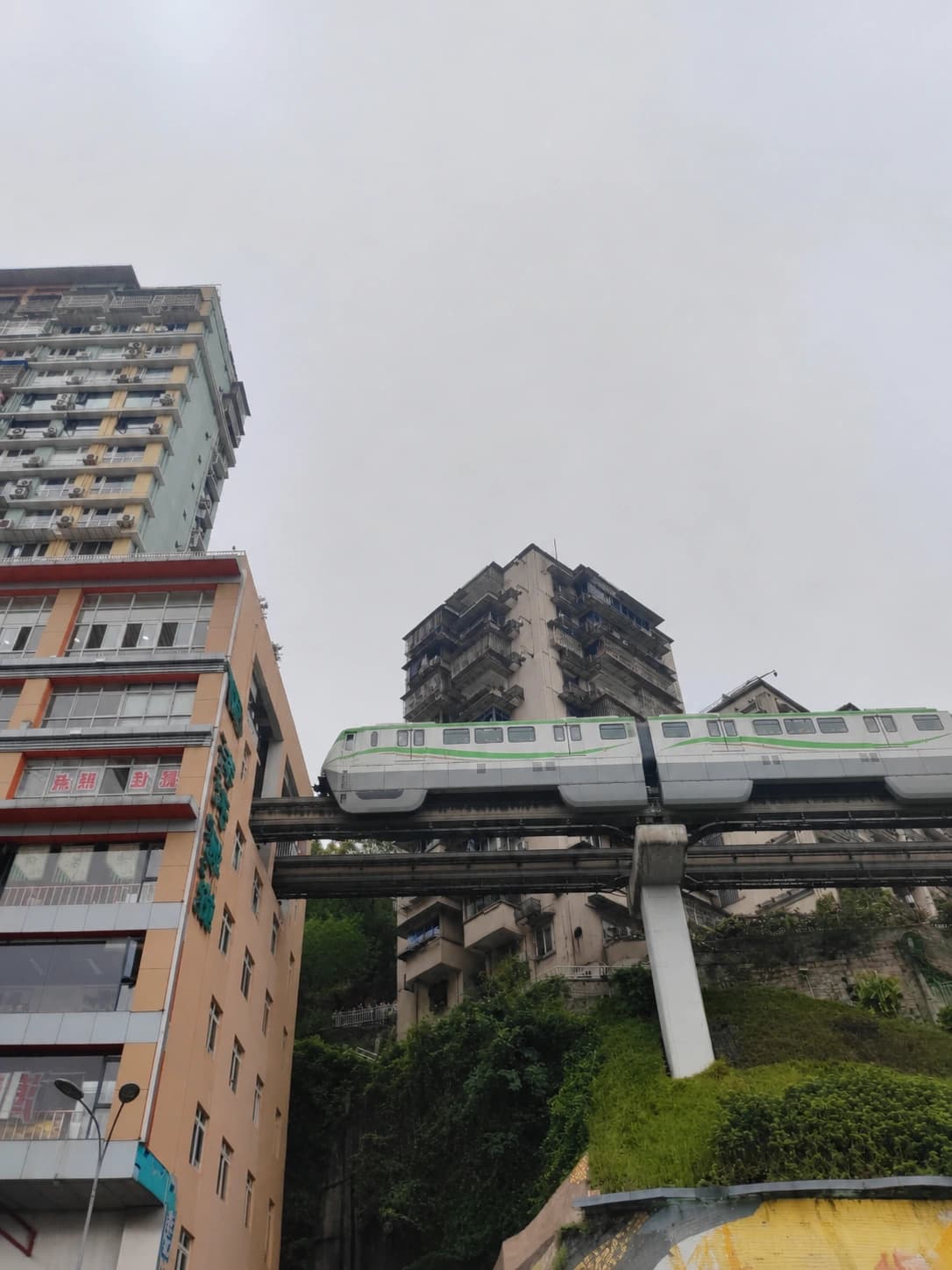
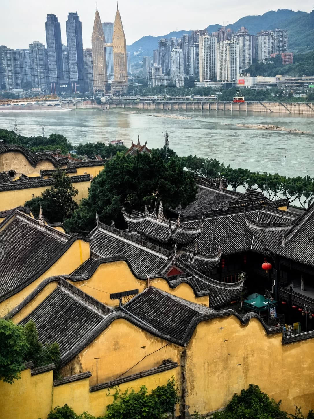
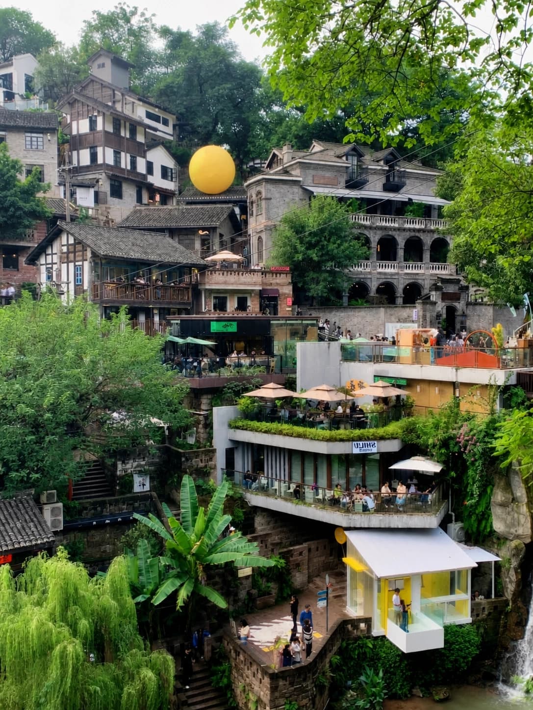
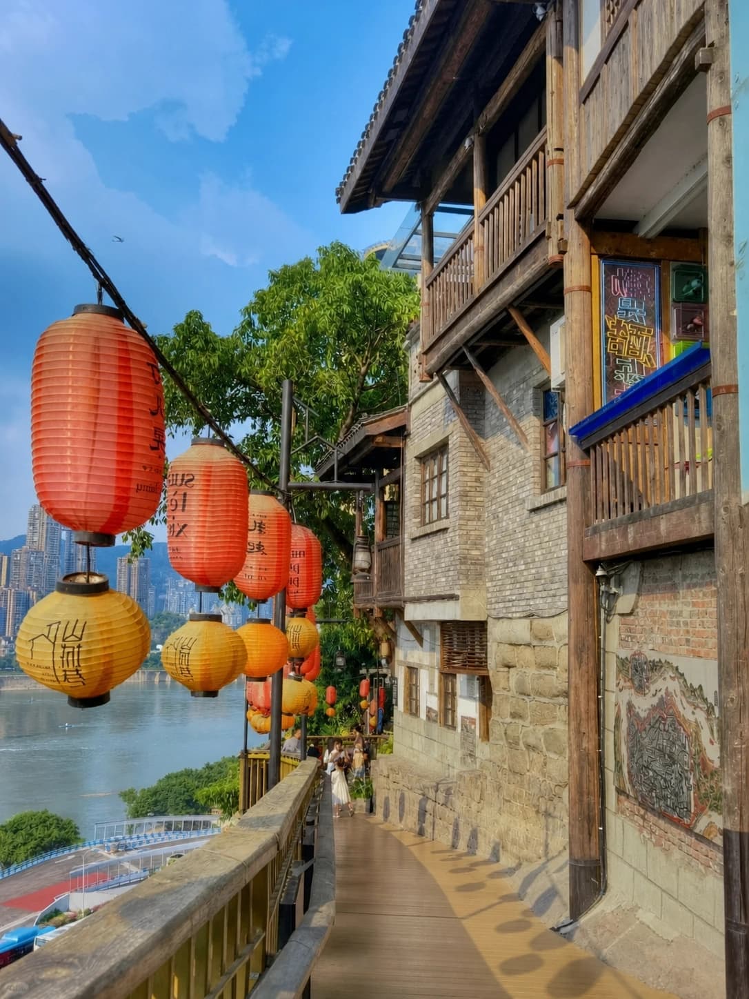
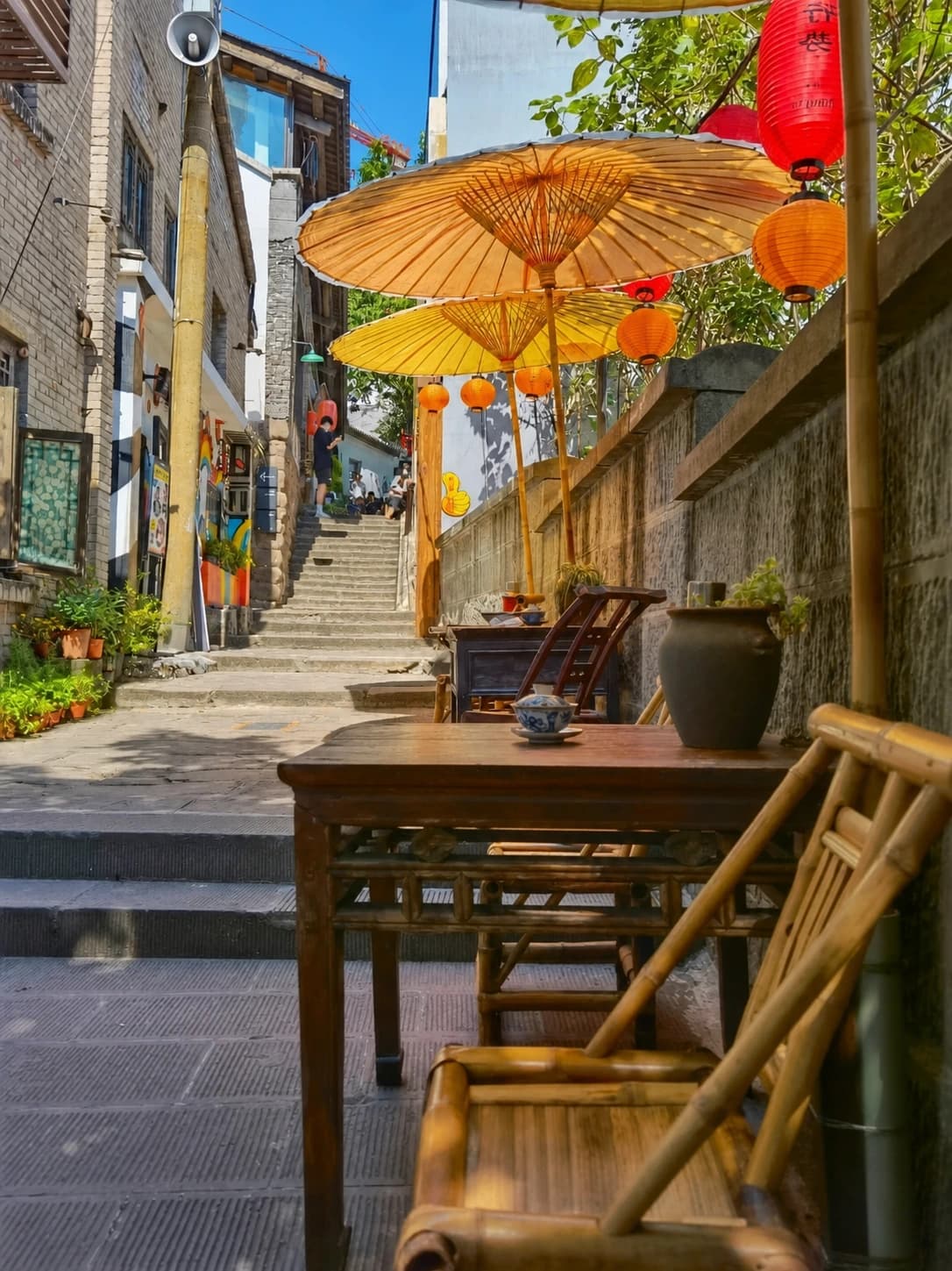
The Mountain City Walkway usually means the historic Shancheng Lane (山城巷, Shānchéng Xiàng) section on Yuzhong Peninsula: old homes, retaining walls, courtyards and river views connected by stone lanes and cliffside steps. It reveals Chongqing's vertical urban form more clearly than a single observation deck.
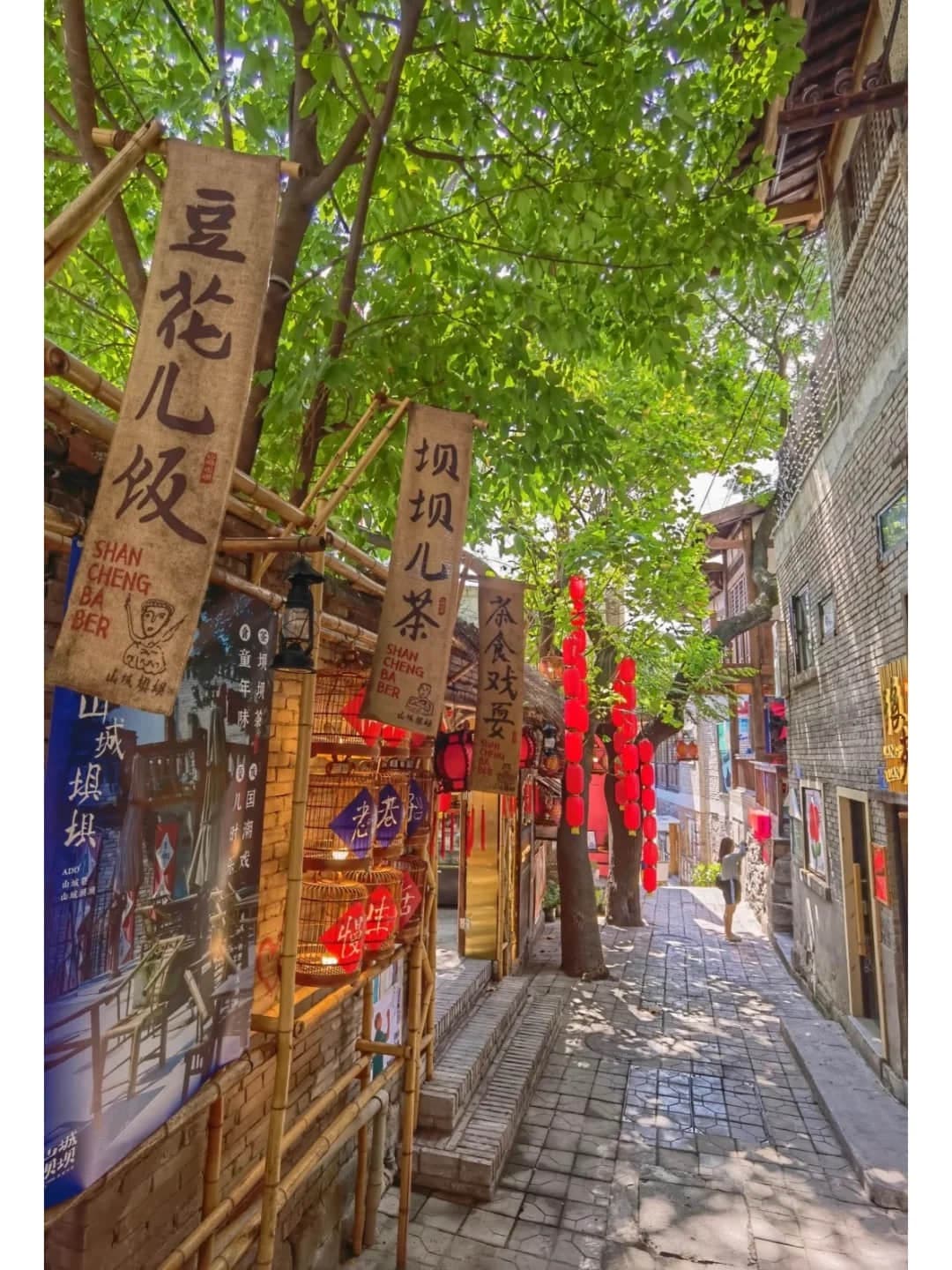
Use the Upper Entrance and Walk Downhill
Take Metro Line 1 to Qixinggang Station, Exit 1, then walk about 700 m (10 minutes) toward Consulate Lane (领事巷), the useful upper entrance named in current official guidance. From there, follow signs through Shancheng Lane and descend toward Zhongxing Road.
This direction saves climbing, but it is not effortless: the official area description notes roughly 70 m of elevation change, and the route includes long staircases, uneven stone and exposed edges. Entering from Zhongxing Road reverses the route and turns the visit into an uphill walk.
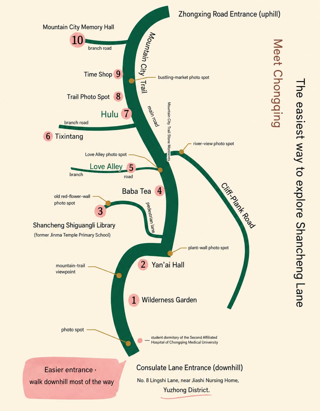
A Simple Route to Follow
Allow 1.5–3 hours and use this sequence:
- Consulate Lane: orient yourself at the upper end and confirm that the signed descent is open.
- Renai Hall area: pause around the surviving institutional buildings and read the onsite interpretation. Access to interiors or performances is not guaranteed.
- Shancheng Lane: continue through the old residential fabric, taking care not to block doorways or photograph residents intrusively.
- Cliffside walkway: use the river-view branch only when open and dry. In heavy rain or poor visibility, remain on the neighbourhood route.
- Zhongxing Road: finish at the lower end and decide whether you have enough energy for another attraction.
The often-quoted distances describe different scopes. About 1,748 m refers to the Shancheng Lane walkway, while about 3.9 km refers to the wider Third Mountain City Walkway. Neither number captures detours, interior stops or Chongqing's vertical terrain, so plan by time rather than flat-map distance.
Admission and Opening Conditions
The public lanes are free. Individual museums, performances, cafés or temporary experiences may charge separately and keep their own hours. Do not assume that a shop or interior mentioned in an older itinerary will still be operating.
The outdoor route does not have one reliable closing time. Construction, neighbourhood management and weather can close individual branches. Visit in daylight and let barriers or current signs override an online map. Holiday crowd controls elsewhere on Yuzhong Peninsula can also affect road access.
Weather, Footwear and Accessibility
Wear shoes with good grip. In summer, start in the morning before the stone and concrete retain heat; in winter, finish the exposed sections before dark. Avoid the cliffside branch during thunderstorms, heavy rain, ice or poor visibility.
This is not a step-free route. Travellers with knee, balance or mobility concerns can sample the upper lane and return the same way rather than committing to the full descent. Carry only what you can manage on stairs, and build in a seated break.
What to Add Afterwards
Shibati is the most natural second hillside district, but combining both still means more steps and should not be presented as an easy stroll. Tongyuan Gate can extend an old-city walk from the upper area; it is not a compulsory finish after you reach Zhongxing Road.
The trail is straightforward to visit independently. If you prefer a driver and guide, compare the Trip.com private day tour that explicitly includes Mountain City Trail, Shibati, Huguang Guild Hall, Hongya Cave and Raffles City. Confirm the guide language, pickup, attraction admissions and walking requirements for your chosen date.
The best version of this walk is not a checklist of shops. Follow the slope, read the surviving urban layers and leave enough energy for Chongqing's next staircase.