Tianmen Mountain
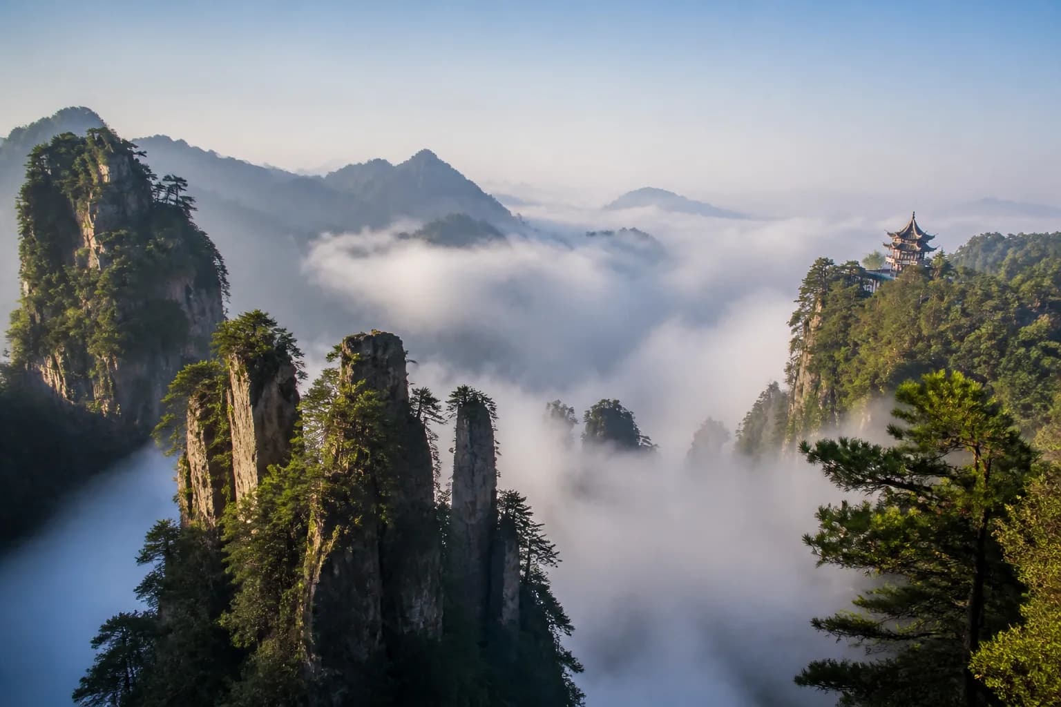
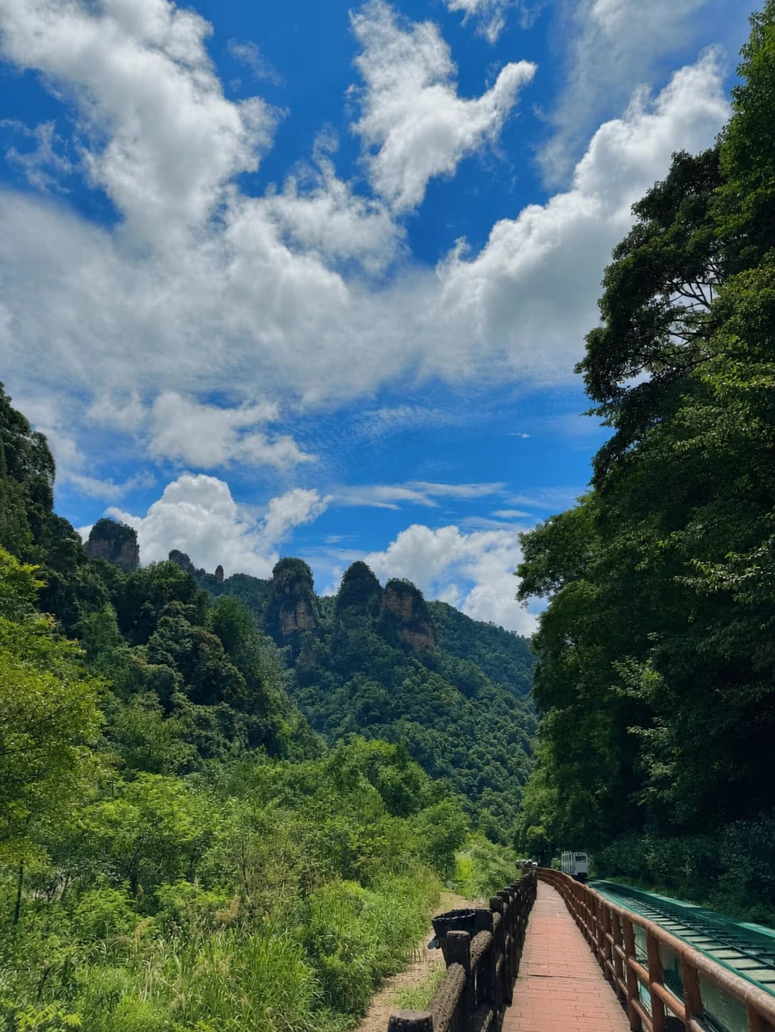
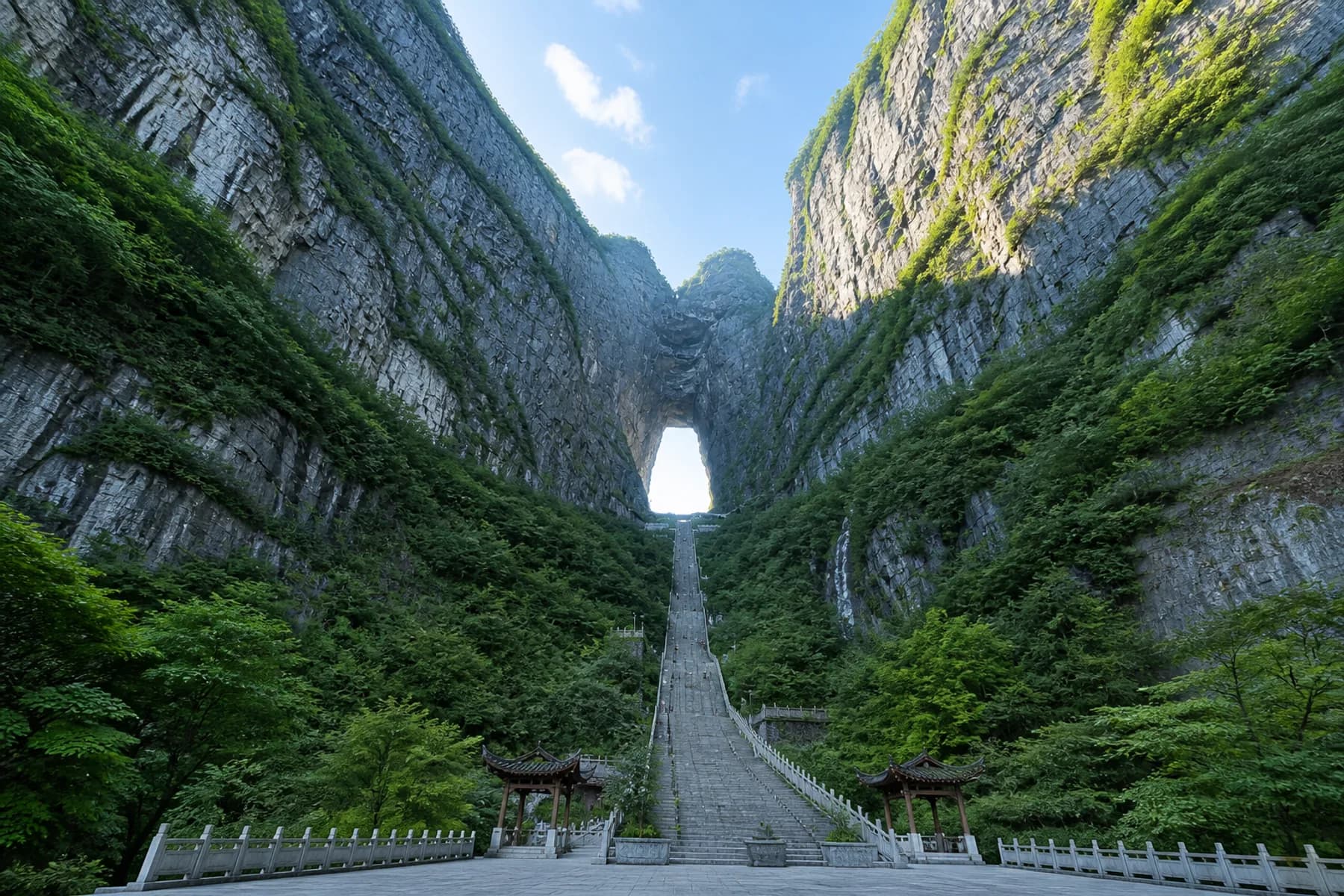
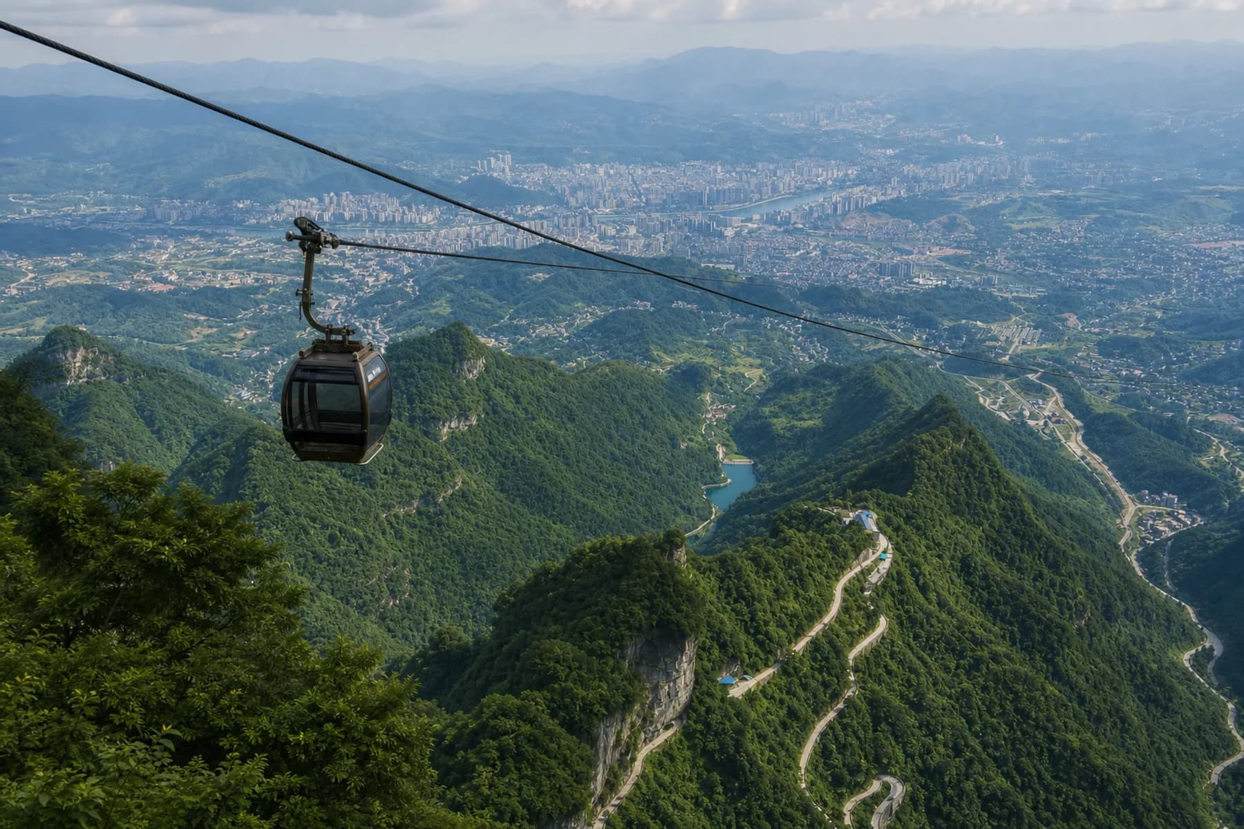
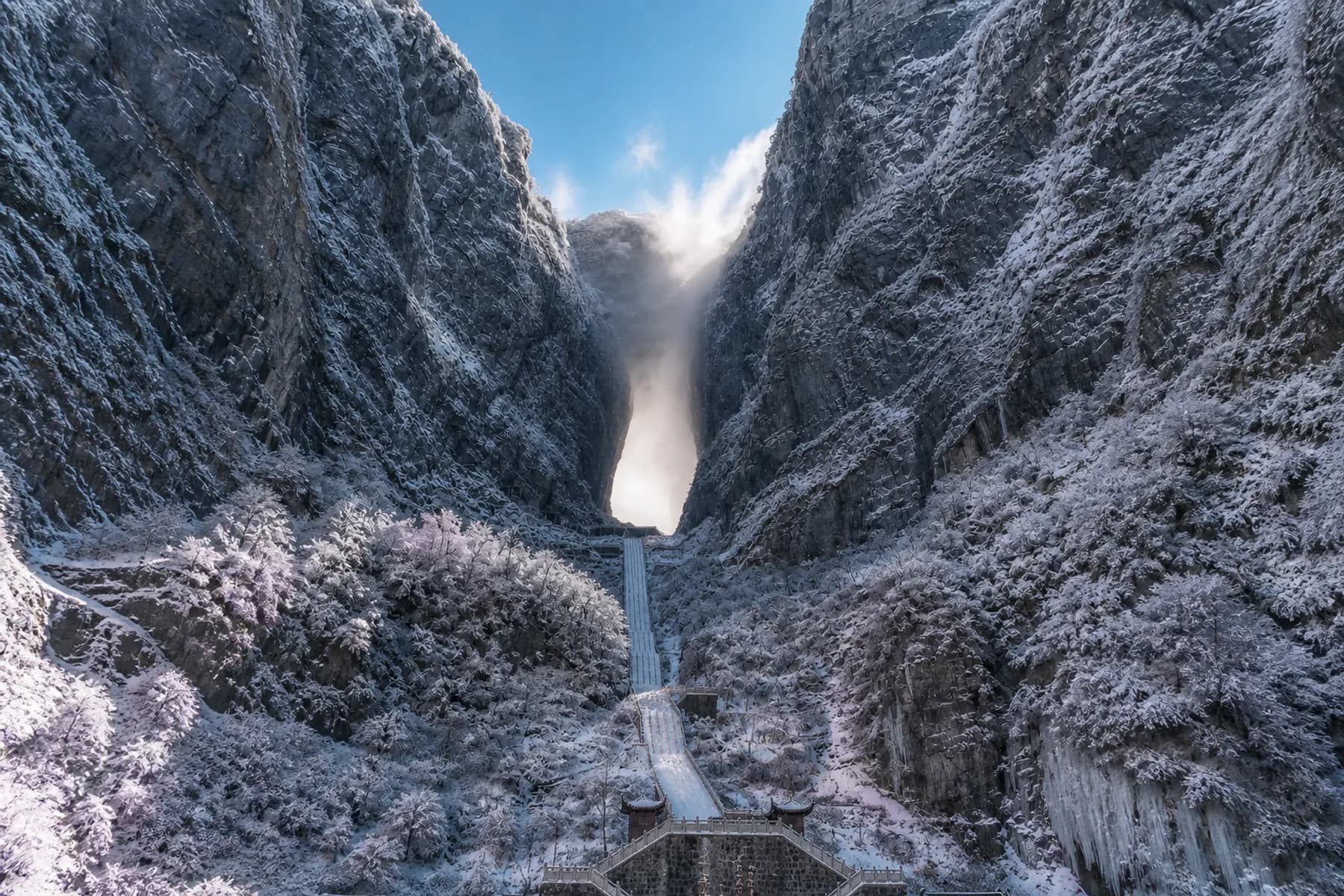
Tianmen Mountain (天门山) rises directly above Zhangjiajie city, but its visit is not a simple cable-car ride to one viewpoint. A real day links three different zones: the city-side cableway station, Tianmen Cave—better known internationally as Heaven's Gate—and a broad summit network of cliff paths, forest, temple and escalator connections.
The attraction's A, B and C tickets usually cover the same core scenery in different transport orders. Construction and mountain weather can change those orders again. The biggest planning mistake is therefore choosing a letter from an old blog, then arriving at the wrong station or expecting a cableway segment that is not running.
Choose the live product first. Read its start point, direction and time slot. Only then decide how much of the summit you want to walk.
Current Route Status: Checked August 11, 2026
The latest operating notice we located was issued by the scenic area for March 20, 2026. It restored round-trip cableway Routes A, B and C after maintenance, but kept the upper segment of the main Tianmen cableway—from Middle Station to the summit—out of service. One-way Routes 1 and 2 remained suspended. The notice gives the adjusted A/B/C sequences in full.
A separate Hunan government notice dated May 13, 2026 said the East Line Glass Walkway was closed for maintenance, while the West Line and Panlong Cliff glass walks remained open. We found no later official reopening notice in the August 11 search.
These are dated findings, not permanent promises. Wind, lightning, fog, ice, heavy rain, inspection or construction can change cableways, shuttle buses, escalators and cliff paths on the day. The product shown in the official booking channel and the notice at the entrance control your visit.
Tianmen Mountain A, B and C Routes Explained
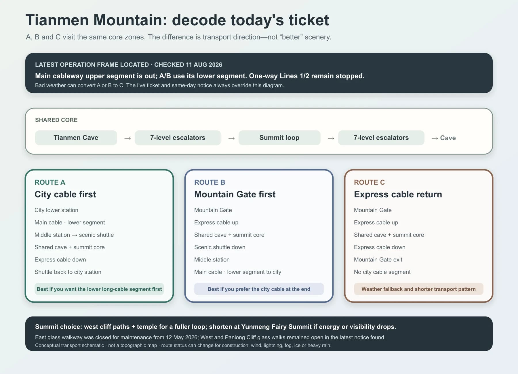
This is a transport schematic, not a topographic map. All three current products share the central sequence of Tianmen Cave, the seven-level transmountain escalators and a summit visit.
Route A: city cable segment first
Under the latest located notice, Route A starts at the Tianmen Mountain cableway lower station in the city. You ride the functioning lower segment of the main cableway to Middle Station, transfer to a scenic shuttle for Tianmen Cave, use the seven-level escalators to reach the summit, explore, return to the cave by escalator, descend on the express cableway and take a shuttle back to the city station.
Choose A when staying beside the city cableway station and when riding the long lower cable segment near the start matters to you. It does not currently provide the historic uninterrupted city-to-summit ride shown in older videos.
Route B: Mountain Gate first, city cable at the end
Route B starts at Mountain Gate. The express cableway climbs to Tianmen Cave; the escalators connect to the summit. On the return, the current pattern uses a scenic shuttle from the cave to Middle Station, then the lower main cableway segment down to the city.
Choose B if you prefer to end beside the central city station or want the long lower cable segment after the summit. The latest notice also said B visitors could voluntarily use the express cableway down instead, effectively following C's return pattern; confirm whether that remains available before committing.
Route C: express cableway up and down
Route C begins and ends at Mountain Gate, using the express cableway in both directions. It includes the cave and summit core but not the city-side main cableway segment. It can be a practical choice if the longer cable ride is not important or if operations consolidate around the express line.
When ice, heavy rain or fog makes the road between Middle Station and Tianmen Cave unsafe, the scenic area warns that A and B may be converted to C. That is operational risk management, not an inferior ticket.
The exact Trip.com Tianmen Mountain product can help compare live inventory, route letter and included transport. Match the product wording to the official same-day notice before purchasing.
Do Not Confuse the Two Escalator Systems
The seven-level transmountain escalators connect the rear of Tianmen Cave with the summit. They are fundamental to the present A/B/C flow. The shorter escalator beside the famous 999-step stairway is a different facility and may be optional or separately charged depending on the live package.
If you want the classic stair photograph, decide whether you also want to climb it. The steps are steep, exposed and visually compressed by the mountain walls. Walking down can be hard on knees; walking up consumes energy you may prefer to use on the summit. There is no failure in choosing the operating escalator when mobility, heat, ice or crowding makes the staircase unsuitable.
Build the Summit Around Energy, Not Every Named Stop
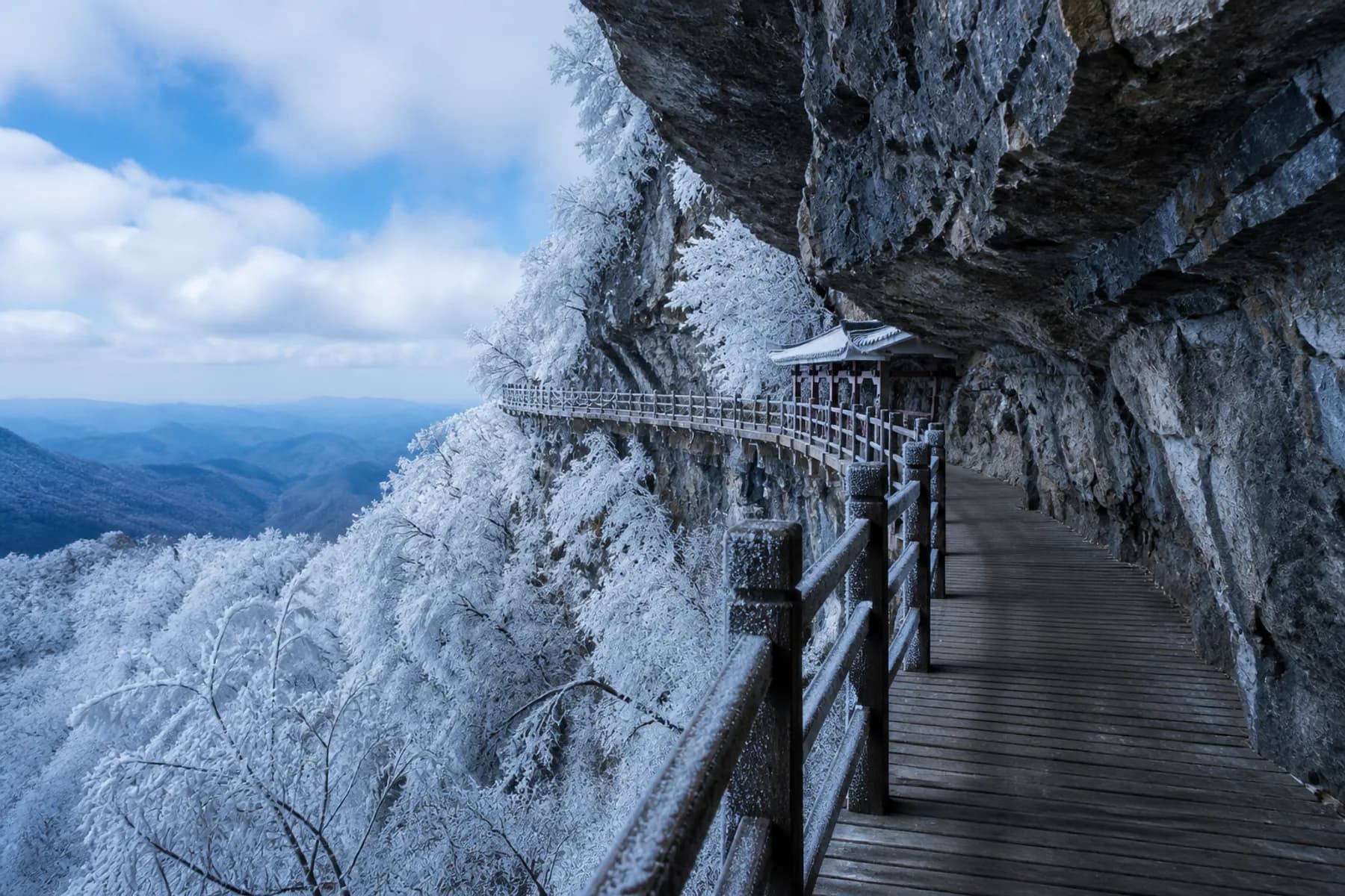
The summit is a network rather than one lookout. A full loop can combine cliff paths, Guigu Plank Walk, a suspension bridge, Tianmen Temple, forest sections and eastern viewpoints. Signs and closures determine the exact path, so use the following as a decision framework.
Essential summit: about 2 hours above the cave
From the escalator exit, choose the clearest nearby viewpoint, walk one open cliff section and reach Yunmeng Fairy Summit if visibility and queues support it. Turn back before fatigue. This shorter summit works for families, travellers with limited walking tolerance and anyone whose main priority is Tianmen Cave.
Full summit: about 3–4 hours above the cave
Follow a coherent west-to-temple loop: west cliff path, one open glass walkway if desired, Guigu Plank Walk, the suspension bridge area and Tianmen Temple, then return along the open eastern side or the route directed by staff. The temple gives the day a cultural change of pace after repeated cliff views.
Do not treat all glass walks as separate must-sees. The transparent floor is a brief design feature; the more distinctive experience is the continuous path suspended across vertical karst walls. If one glass section is closed, the mountain visit is not ruined.
What Makes the Mountain Different from Wulingyuan
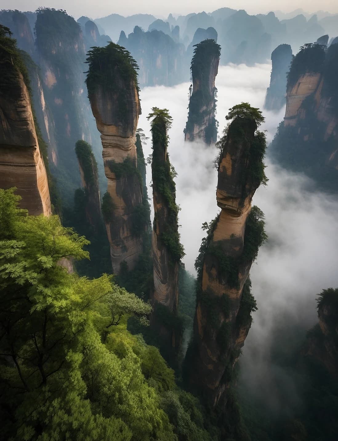
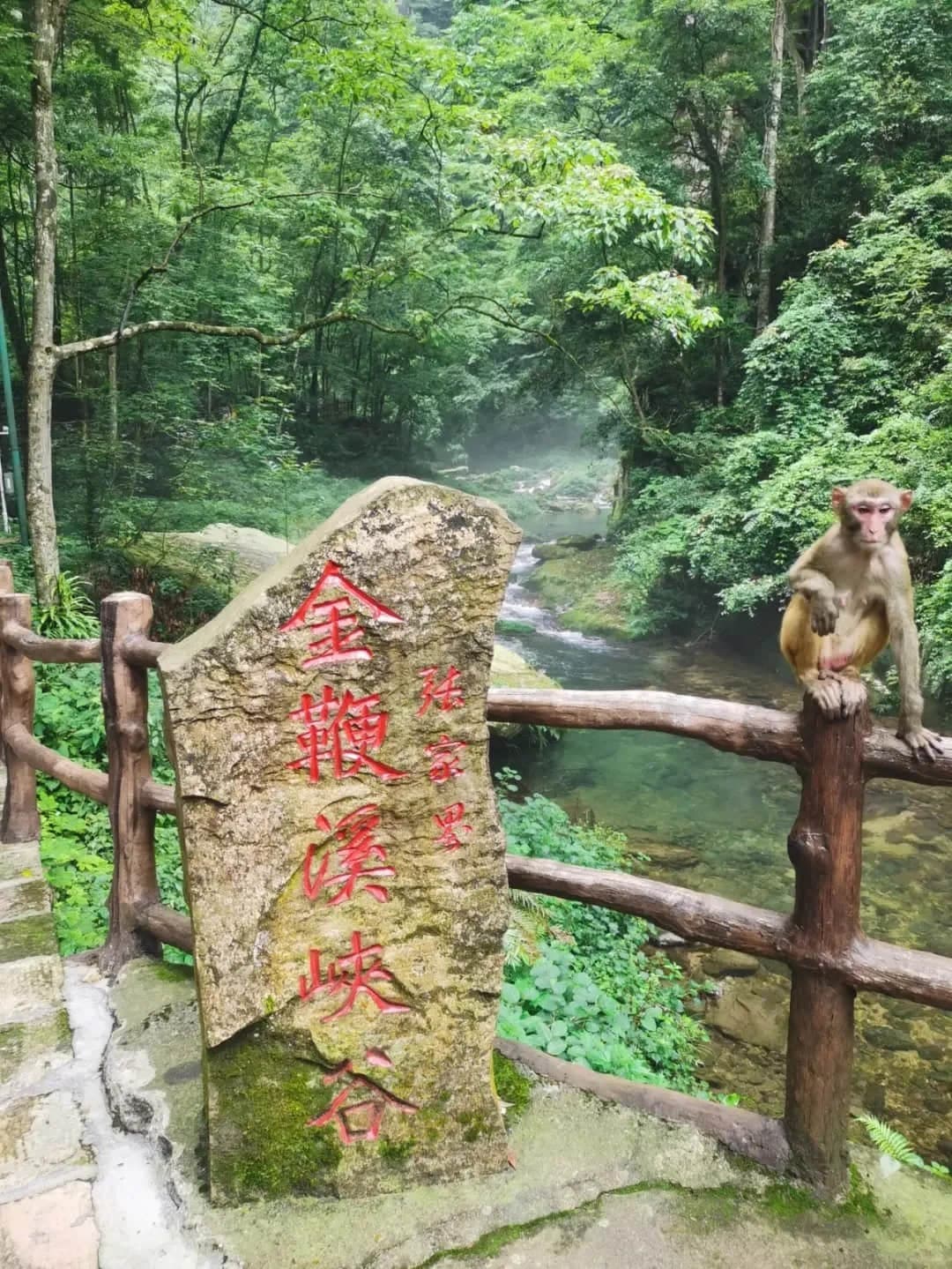
Tianmen Mountain is in Yongding District beside Zhangjiajie city. Zhangjiajie National Forest Park, Yuanjiajie and Golden Whip Stream are in the separate Wulingyuan travel zone. They are not two entrances to the same park.
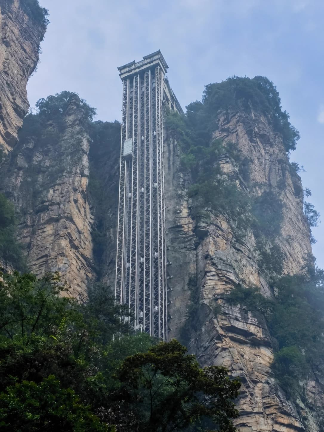
Tianmen's identity comes from the relationship between geology and engineering. The natural arch is framed by a monumental stair, a road twists through 99 bends below it, escalators pass inside the mountain and cableways connect urban streets to high forest. Wulingyuan is a multi-gate landscape of sandstone pillars; Tianmen is a concentrated, highly engineered mountain day.
That is why combining a full Tianmen visit with a Wulingyuan core route is a poor plan. Protect one day for Tianmen and use a city hotel the night before or after.
Visibility Matters More Than a Perfect Season
Searches for a single “best time” miss the mountain's real variable: visibility at the moment you arrive. A clear winter day can outperform a wet summer morning; low cloud can hide the city, the 99-bend road and even the surrounding cliff scale.
- Spring: changing cloud layers and fresh forest, with frequent wet surfaces.
- Summer: long operating days and dense green scenery, but heat, thunderstorms and peak queues.
- Autumn: often comfortable walking conditions and sharper distant views, though holiday demand is intense.
- Winter: exceptional frost and snow when open, with the highest chance of ice-related route changes.
Check the summit forecast, not only Zhangjiajie city. If rain and low cloud are forecast all day, decide whether atmospheric forest and cave views are enough for you. If lightning, strong wind or freezing conditions trigger closures, do not improvise around barriers.
Timing, Reservations and Price Reality
The May 2026 government notice reported ticket sales from 07:30 to 16:00 and visitor operation beginning at 08:00. Treat those as a dated reference; your reserved entry window and current official platform remain decisive.
Tianmen products are timed partly to distribute demand across transport. Arrive before the window with the passport or identity document used in the booking. A late arrival can break the planned sequence even if the park itself is still open.
Do not compare only the headline price. A 2025 Hunan Development and Reform Commission notice set the government-guided entrance component at ¥72, but visitor products also bundle cableways, shuttles and other transport. Optional lower-stair escalator use, summit chairlift, glass-walk shoe covers, insurance or guide service may be separate. Compare the final inclusions line by line rather than repeating the old page's obsolete flat ¥278 claim.
Getting to the Correct Starting Point
Use the verified AMap marker for the city cableway lower-station ticket hall. “Tianmen Mountain” alone can point to the mountain core or Mountain Gate, kilometres away.
- From Zhangjiajie railway station: about 1.1 km / 15 minutes on foot to the city lower station.
- From Zhangjiajie West high-speed railway station: about 8.7 km / 14 minutes by car in normal routing.
- From Zhangjiajie Hehua International Airport: about 4.1 km / 8 minutes by car in normal routing.
These AMap comparisons are planning estimates, not promises during congestion. For B or C, check whether the live ticket provides the transfer from the city assembly point to Mountain Gate; do not independently taxi to the mountain entrance unless the product instructs you to start there.
Crowd, Comfort and Safety
The day includes queues, tunnel escalators, cable cabins, shuttles, exposed cliff paths and substantial walking. A route that looks mechanised can still be tiring.
- Wear shoes with grip; polished steps and plank walks become slippery in rain or frost.
- Carry a light rain shell and warm layer even when the city is humid.
- Use toilets before long cliff sections and transport queues.
- Keep food sealed around forest areas and never feed macaques.
- Follow closures immediately; falling ice, rock, lightning and wind are mountain hazards, not customer-service inconveniences.
- Travellers with vertigo can skip glass floors while still using solid cliff paths; ask staff for the least exposed open alternative.
Families and travellers with limited mobility should confirm lift, escalator and accessible-path status before booking. The 999 steps are optional in many operating patterns, but a completely stair-free visit cannot be assumed.
What to Eat After the Mountain
Eat a reliable breakfast before your entry window; transport queues are not the place to discover you skipped it. On the summit, use simple food and water as fuel rather than planning a destination meal.
Back in Zhangjiajie city, look for sanxiaguo, a local dry or brothy hotpot combining several ingredients, often smoked pork, offal, tofu and vegetables. Ask for the chilli level you actually enjoy. Other useful local flavours include sour pickled vegetables, smoked pork, wild or cultivated mountain greens, kudzu-root noodles and Tujia-style rice cakes.
Choose a busy restaurant near the lower station or railway area with a clear menu and visible turnover. One well-prepared hotpot after a cold or wet mountain day is more distinctive than collecting generic snacks at every scenic stop.
Where to Stay
- City cableway lower station / Guanliping: best for an early Tianmen slot, Zhangjiajie railway station and a late arrival from the airport.
- Central Yongding: better for a broader restaurant choice while remaining a short car ride from the lower station.
- Zhangjiajie West station: useful for a very early or late high-speed train, but less convenient for walking to Tianmen check-in.
- Wulingyuan town: the correct base for Zhangjiajie National Forest Park, not for an early Tianmen start. Move hotels once if your trip changes from Wulingyuan days to Tianmen and onward transport.
Compare current properties through Trip.com hotels, using the exact cableway station or Wulingyuan gate on the map. “Mountain-view hotel” is less useful than the right transport zone.
Tianmen Mountain works when you separate the ticket's transport pattern from the summit's walking choices. Confirm today's A, B or C sequence, protect enough time for one coherent summit loop, and let weather—not an old checklist—decide how far you continue.