Luoyang Bridge Quanzhou
Luoyang Bridge makes the maritime system physical: stone piers, tidal water and causeway-like approaches joined the port region rather than decorating it. Start from an official accessible end, walk only the open deck and turn back when heat, rain or maintenance makes the full crossing poor value.
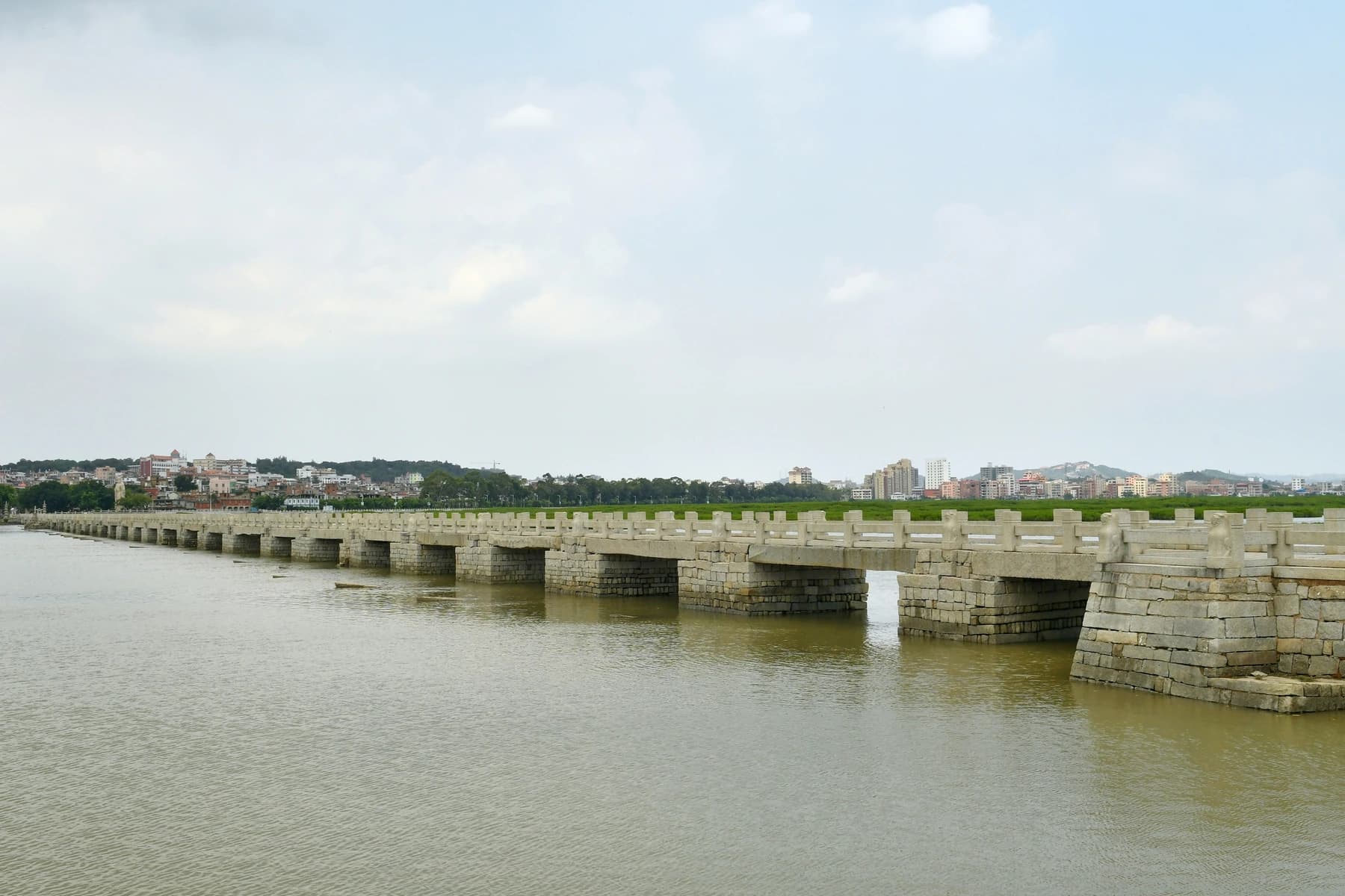
Photo: Tyg728 · Source · CC BY-SA 4.0
Allow 60–90 minutes. There is little shade, stone can be slippery, and the tidal landscape changes by hour. Do not step onto mudflats or construction areas for photographs. Current mangrove and maintenance work may redirect an approach.
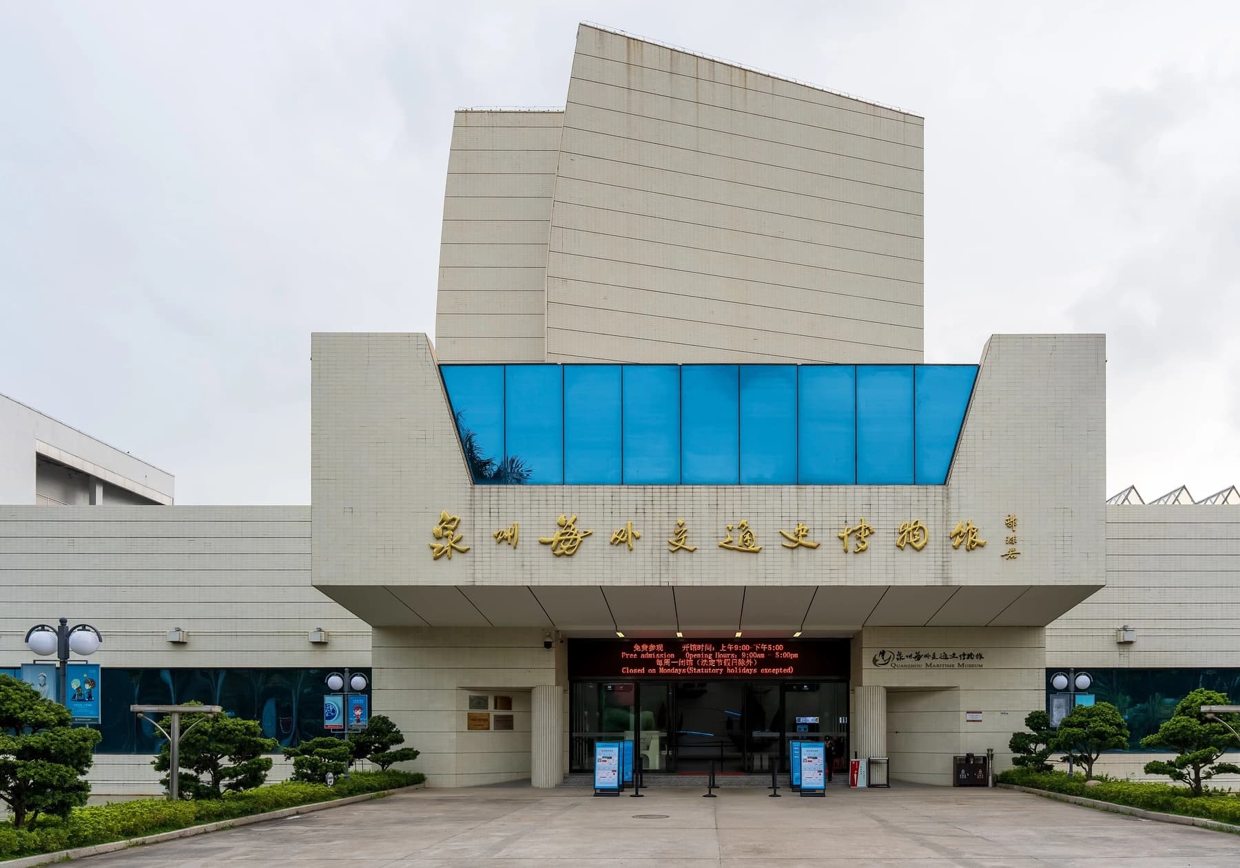
The verified bridge map location is northeast of central Quanzhou. Pair it with the Maritime Museum, approximately 10.2 km / 21 minutes away by car before traffic. A generic “Luoyang” search can resolve to the wrong city, so retain the Quanzhou map location and Chinese name 洛阳桥.
Read the crossing in layers
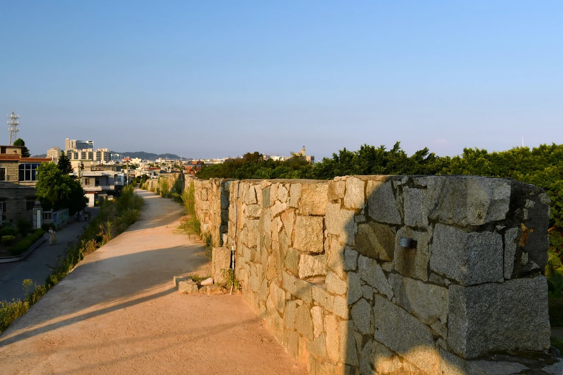
First look along the deck to understand its length and alignment. Then move to a legal viewing point where the piers, water level and estuary are visible together. The bridge's significance is easier to grasp when you see it as transport infrastructure shaped by tides, materials and maintenance—not simply as an old stone surface.
The tide changes the scene but does not justify entering the mudflat. Oyster-based engineering is frequently simplified in short videos, so use the official interpretation for what survives, how the foundations worked and which parts have been repaired. The Quanzhou government heritage page provides a useful starting point before the visit.
Make the remote stop worthwhile
Save 洛阳桥(泉州) and your chosen entrance before departure. Ask a driver to wait only if the price and terms are clear; otherwise check return-car availability as soon as you arrive. Bring water, sun protection and a wind layer. There is no need to complete an out-and-back crossing if the same engineering evidence is visible earlier.
Pairing the bridge with the Maritime Museum creates a coherent half or full day: the museum supplies the trade and ship context, while the bridge shows the regional network on the ground. Do not force Chongwu into the same circuit; its coastal transfer is longer and weather-dependent.
Conservation comes first
Quanzhou authorities continue estuary and mangrove work around the bridge. Barriers, detours and planting areas are part of protecting the setting. Obey them even if an older photo shows unrestricted access, and use the visit-day forecast rather than a seasonal assumption.
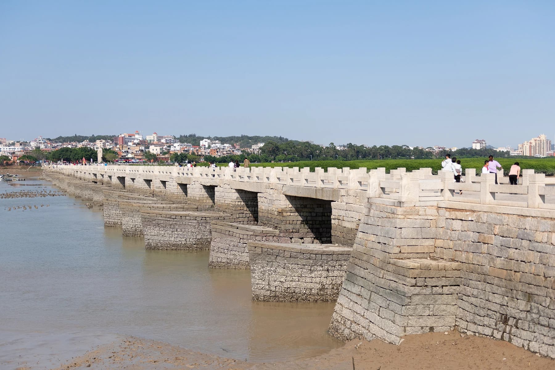
Photo: N509FZ · Source · CC BY-SA 4.0
Check local weather, bridge access and any conservation notice on the visit date; historical engineering explanations should come from official interpretation, not souvenir claims.
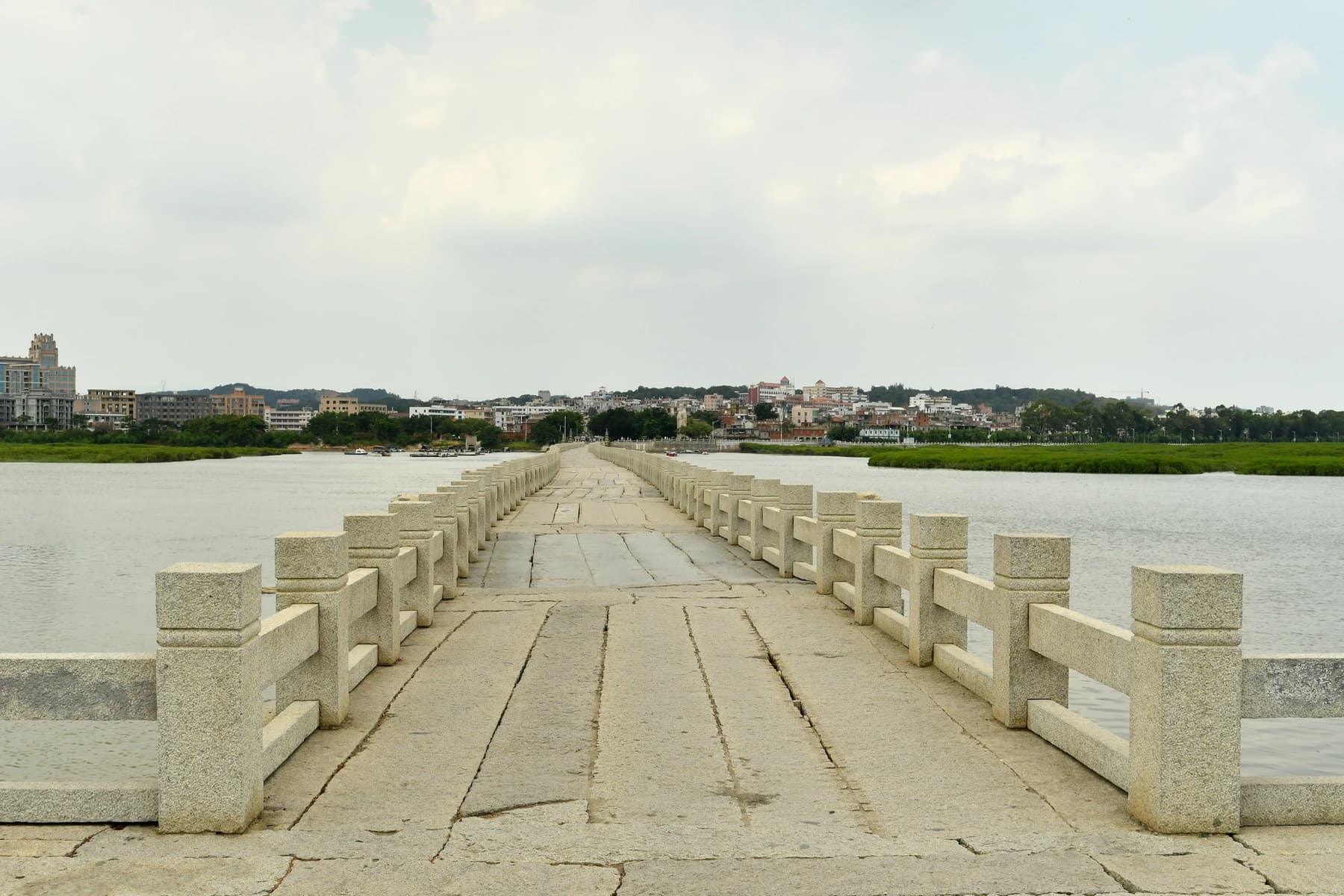
Photo: Tyg728 · Source · CC BY-SA 4.0