Pingtan
Pingtan is a wind-exposed island route, not a single beach. Split north and south, add Houyan only for its symbolic strait viewpoint, and keep Keqiutou as the weather-proof archaeology chapter.
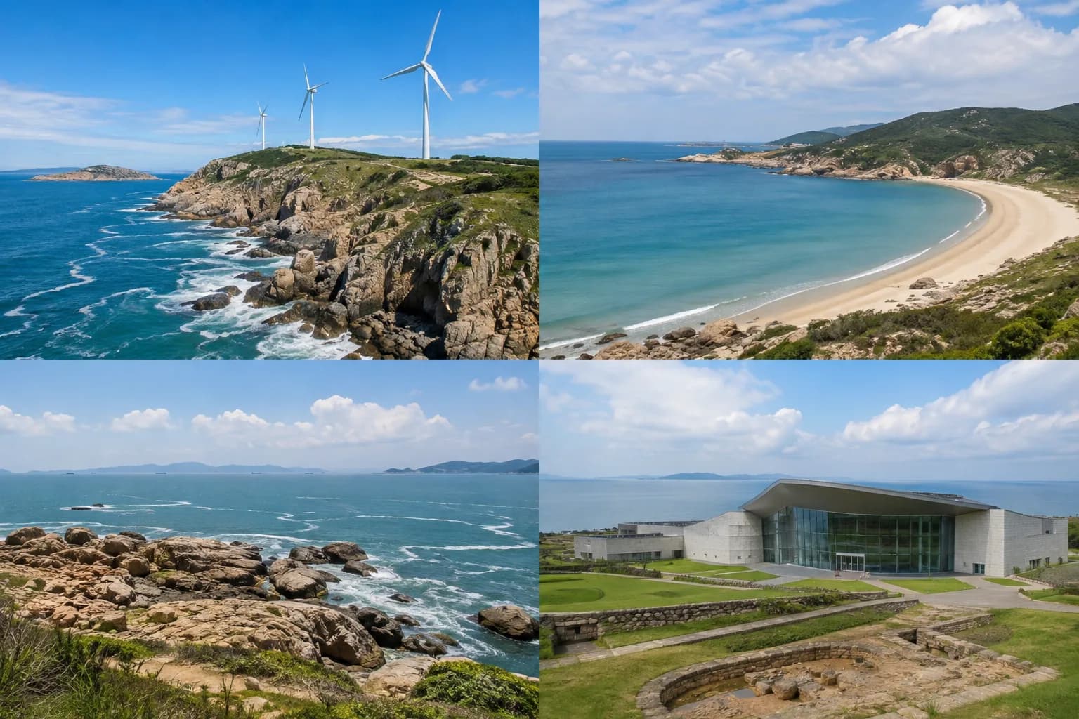
The editorial image supports orientation; weather, access and live operations can differ.
How many days
- Two days: one northern circuit and one southern coast or museum block.
- Three days: add Houyan and Keqiutou without racing the island.
- Cut first: the farthest viewpoint when wind, rain or the last bus removes margin.
Choose your route
- North: Northern Ecological Corridor and selected village or cliff stops.
- South: Tannan Bay and one quieter shore, not every named beach.
- Town/east: Houyan for a short viewpoint and Keqiutou for prehistory.
The anchors that earn the trip




Transport and base
Pingtan Station, the central town and outer coast are separate. Tourist buses are useful only when their live route and final departure match; scooters and cars require valid licensing, insurance and wind-aware driving.
Weather and margin
Wind is the defining variable. Typhoons, heavy rain and sea fog can close roads or coastal sites; blue-tear bioluminescence is seasonal and never guaranteed.
Where to go next
Use the rail connection back toward Fuzhou, then continue to Quanzhou or Xiamen. Avoid an island checkout tied to the last possible onward train.
Compare Pingtan hotels on Trip.com and check China train tickets.