Shigu and the First Bend
Shigu rewards travelers interested in river geography, a historic crossing settlement and the Red Army Long March memorial. From the authorized ground-level viewpoint, the First Bend appears as a relationship among river, settlement and mountain wall rather than the perfect overhead arc familiar from drone and telephoto images. Treat it as a corridor stop with several connected layers, not a single-photo attraction.
What the public view can show
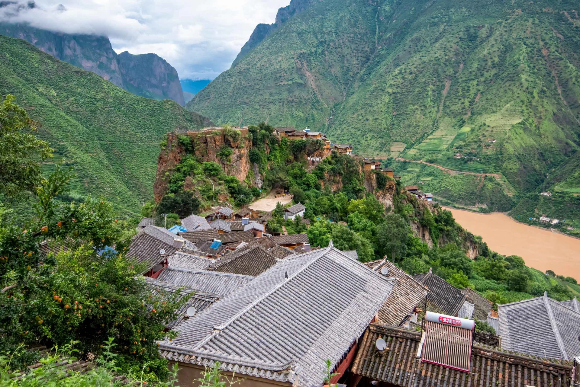
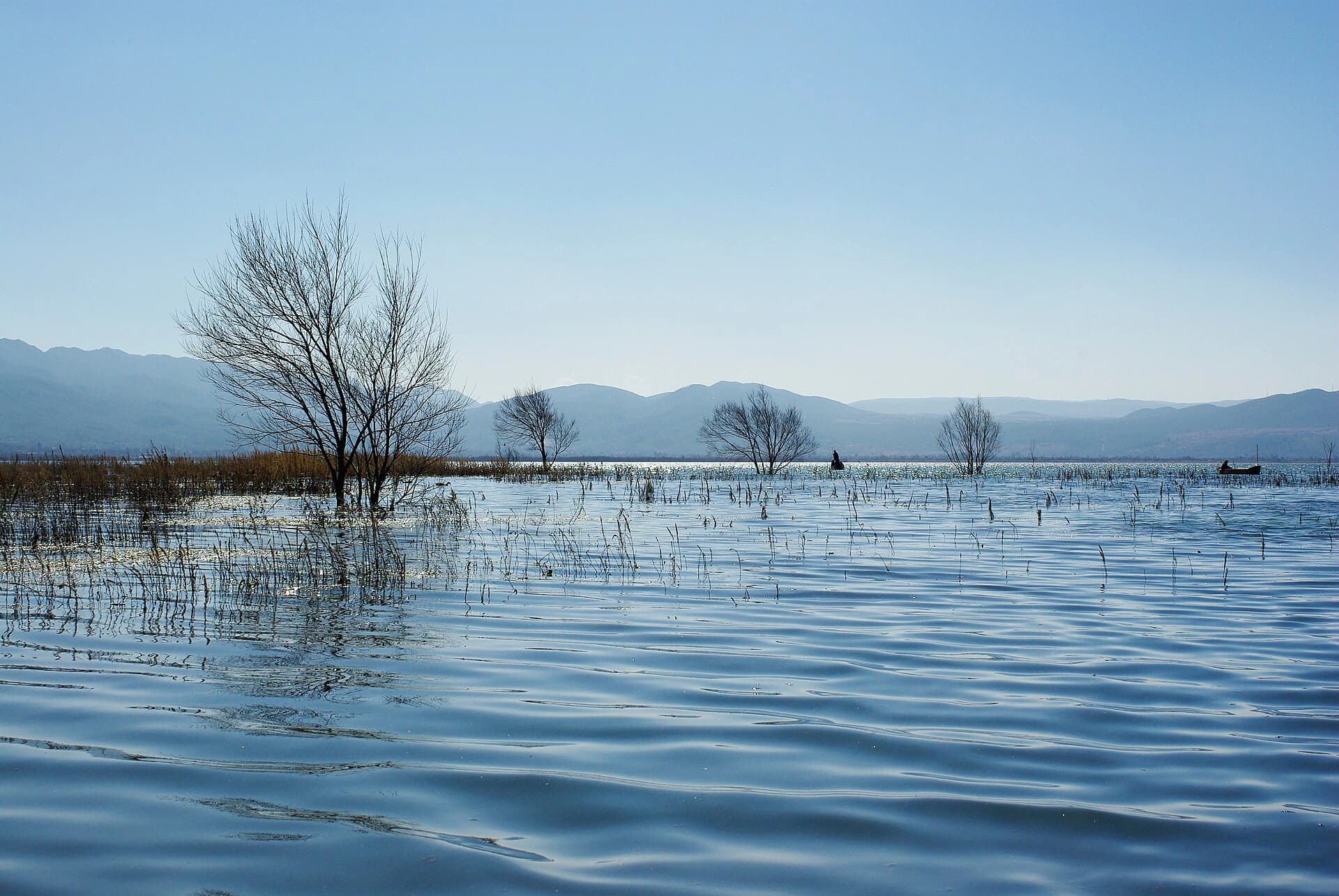
From an authorized ground-level viewpoint, expect to understand the relationship among river, settlement and mountain wall rather than see the entire bend drawn as one perfect arc. Weather, vegetation and water conditions alter visibility.
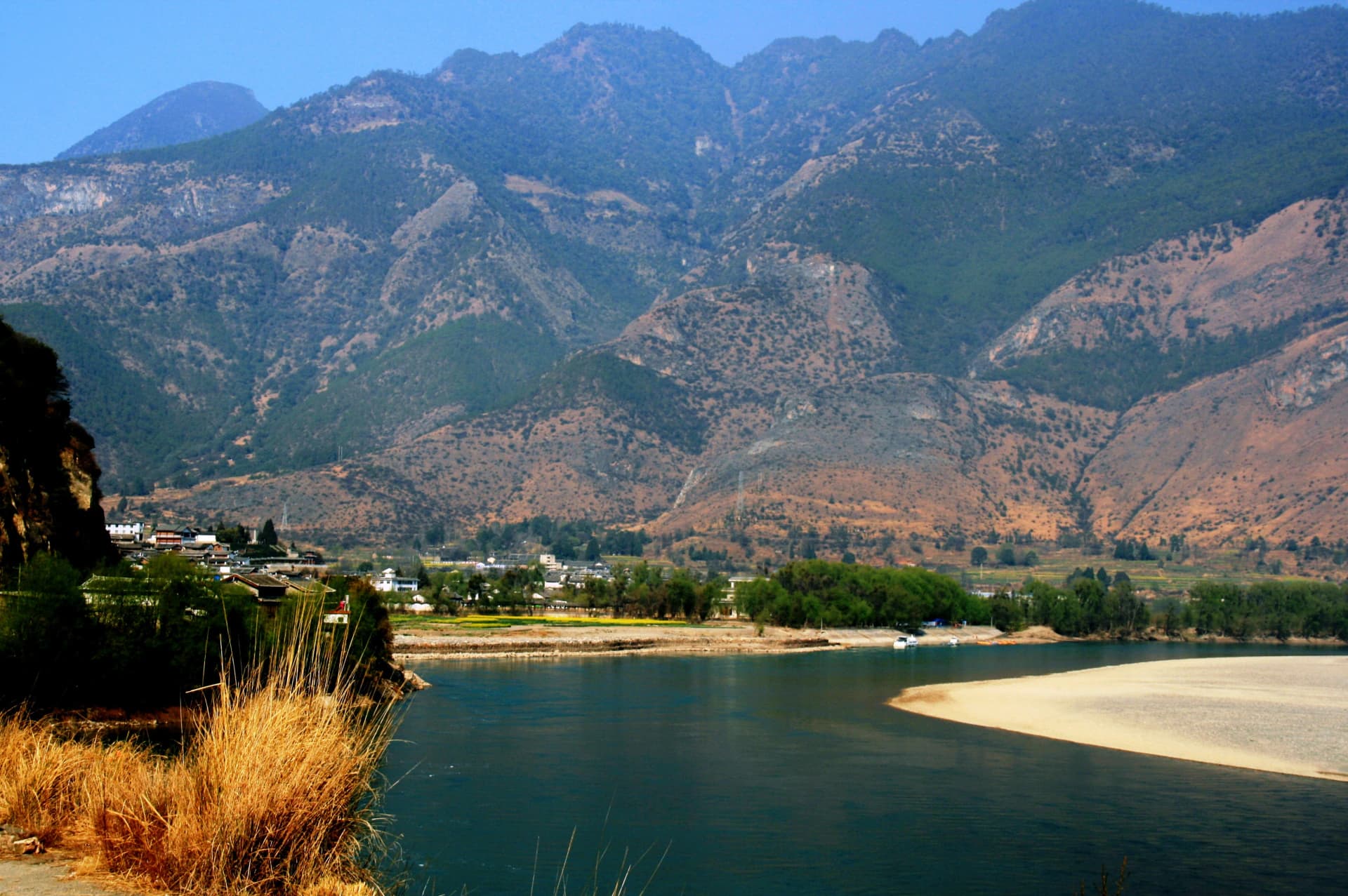
Photo: Lee E Harding · Source · CC BY-SA 4.0
The ground-level view clarifies the relationship among river, settlement and mountain wall. Current signs and barriers still control where visitors may stand.
Use the signed ground-level route
Several higher viewpoints require private land, unmarked village paths or a controlled fire road. The executable public route uses Shigu scenic area and the selected Shigu First Bend viewpoint.
Keep three useful boundaries:
- stay on signed public paths and outside private yards unless the owner currently and explicitly invites access;
- turn back at a fire-control road, closed bridge or barrier rather than trading safety for extra height;
- treat drone permission and a generic “First Bend viewpoint” pin as separate legal and navigation checks, not shortcuts.
AMap estimates 1.1 km / 16 minutes on foot between those anchors. Stay on the signed public route and recheck any closure; this is a ground-level relationship, not a drone-like panorama.
Give Shigu enough purpose
Shigu is associated with an important river crossing, and the memorial record documents the 1936 crossing of the Red Second and Sixth Army Corps along the Shigu–Judian reach. Use that history to understand why the settlement matters rather than reducing it to an elevated camera position.
Confirm the memorial's current entrance, opening rooms, last admission and photography rules. Respect commemorative spaces and distinguish official historical interpretation from a casual scenic stop. Exact hours are withheld because they are volatile.
When to include it
Choose Shigu when it fits a verified northwest road itinerary or when you have a specific interest in river geography and modern history. Skip a dedicated out-and-back if your only goal is the aerial composition. Do not combine it with Baoshan Stone City as though both were quick roadside stops; the latter requires a long mountain approach and is better treated as an overnight journey.
Save 石鼓镇, 长江第一湾 and the verified map locations above. From Dayan, AMap estimates 55.5 km / 1 hour 9 minutes by car or 58 km / 1 hour 30 minutes by the current bus lead; verify the last return. The historical baseline is documented by the Yunnan Party History Research Office.
Final verdict
Visit Shigu for the bend as lived geography and for the crossing history. If you need a spectacular overhead arc to make the stop worthwhile, skip it rather than entering private or controlled land to manufacture the photograph.