Little Yangtai Mountain
Little Yangtai is not a nickname for the entire park. Yangtai Mountain Forest Park has two connected summits and multiple entrances: Little Yangtai rises above the Dalang side in Longhua, while Great Yangtai is reached from the Shiyan side in Bao'an. Shenzhen's official park guide gives their elevations as 460.7 metres and 587.1 metres, with a ridge trail linking them.
That creates three genuinely different outings: a shaded lower-greenway sample, a return climb to Little Yangtai, or a through-hike over both summits. The old advice to follow a generic “left short/right gentle” fork or expect a fixed summit vendor is too fragile for a mountain where signs, maintenance and weather can change.
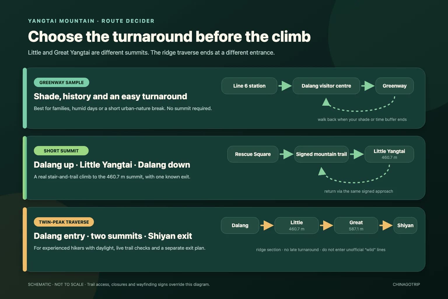
The route graphic is an original schematic built from verified entrance and summit relationships; it is not to scale.
First, Understand the Two Entrances
The Dalang entrance is the practical choice for Metro Line 6 and Little Yangtai. Amap identifies the official visitor centre as 阳台山森林公园游客中心, Yangtaishan Forest Park Visitor Centre — open in AMap. The nearby Victory Rescue Square is part of the park's historical layer as well as a useful orientation point.
The Shiyan entrance serves the Bao'an side and Great Yangtai. It is not a second name for the Dalang gate. A through-hike that begins at Dalang and finishes at Shiyan therefore needs a separate post-hike transport plan; “return to the metro the same way” no longer applies.
The mountain's standard Chinese name is now 阳台山. Some older signs and articles still use 羊台山: Shenzhen restored 阳台山 as the official name in 2020 while preserving certain historic inscriptions. Search both forms when checking an old notice, but use the entrance map location—not just the mountain name—for navigation.
Pick One of Three Routes
1. Greenway sample: shade, history and an easy turnaround
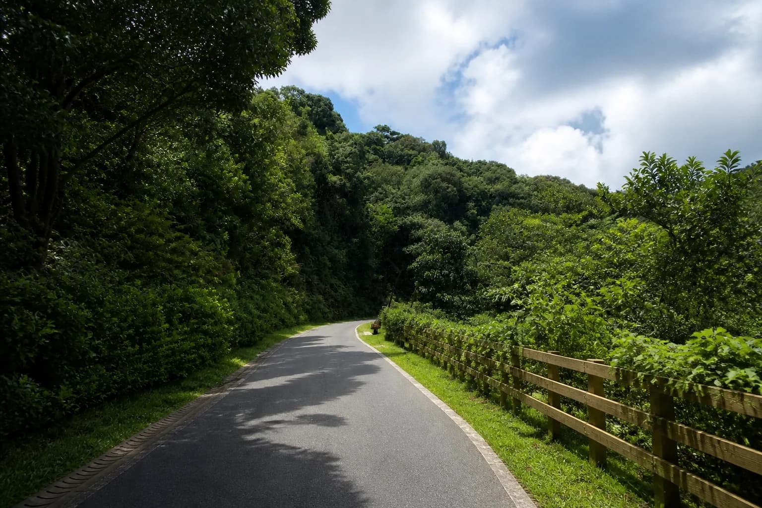
Walk from Yangtai Mountain East station to the Dalang visitor centre, pause at the Victory Rescue Square, then follow the open signed greenway only as far as your heat, rain and time buffer allows. Return by the same approach.
This route suits families, casual walkers and humid afternoons because it does not make a summit the condition for success. The lower park includes paved or constructed greenway segments, forest shade and rest areas, but “greenway” does not mean every branch is level or step-free. Check the current accessibility and entrance board before committing a stroller or wheelchair.
Do not copy the full length of the wider Longhua ring greenway into this outing. That network extends far beyond a short forest-park visit; a comfortable sample is a valid route in its own right.
2. Little Yangtai return: one summit and one known exit
Start from the Dalang visitor centre and Victory Rescue Square, follow the signed mountain trail to Little Yangtai, then descend via the same confirmed approach. This is the best first hike for visitors who want a summit without converting the day into a cross-district traverse.
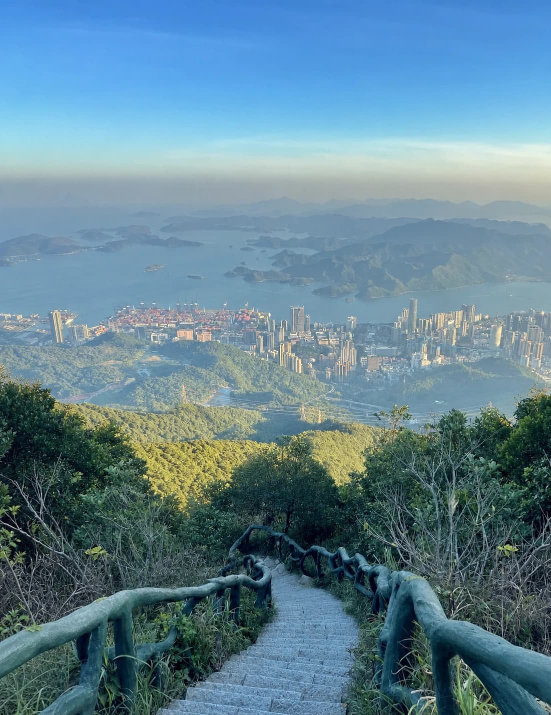
The route changes character above the lower greenway: repeated stone stairs, sustained climbing and humid forest make the effort larger than the modest elevation number suggests. There is no defensible reason to publish a permanent “70-degree section,” exact ascent time or guaranteed water point. Your pace, heat, wet steps, maintenance diversions and crowding determine the day.
Set a turnaround time before climbing. Reaching the summit late does not shorten the descent, and the official park conservation guidance asks hikers to plan ahead and be down before dark.
3. Twin-peak traverse: Dalang to Shiyan
The strong-hiker option is Dalang → Little Yangtai → ridge trail → Great Yangtai → Shiyan. It collects both official summits and avoids retracing the whole route, but it also removes the simple exit. The Shiyan finish is on the other side of the park, the ridge adds distance and elevation change, and a closure can invalidate the through-plan.
Attempt it only with an early start, sufficient daylight, a live trail check and downloaded navigation that agrees with on-site signs. Tell someone your entrance and planned exit. Do not follow an online “wild line” into an undeveloped area: Shenzhen's park authority explicitly asks visitors to stay on established hiking and country trails, avoid creating shortcuts, keep away from wildlife and carry out all rubbish.
If weather, energy or wayfinding becomes uncertain before the ridge commitment, return from Little Yangtai to Dalang. A shorter completed hike is better than an improvised exit after dark.
Metro Access That Has Actually Been Checked
Take Shenzhen Metro Line 6 to Yangtai Mountain East (阳台山东). Exit designations and construction diversions can change, so follow the live station signs towards the forest park rather than treating an old “Exit A” sentence as permanent.
Amap places the station-area bus stop at 113.991963, 22.668180 and models the walk to the official Dalang visitor centre at approximately 0.7 kilometres / 10 minutes. It is a short urban approach; a taxi can take longer once pickup and the park-side drop-off are considered. Cross roads at marked points and keep the visitor-centre map location open until you reach the correct gate.
For the twin-peak route, plan the Shiyan-side ride before starting. Do not assume the metro station used in the morning will be the easiest evening destination. Live Amap or another current Chinese map should control the final bus, taxi and pickup point.
The Historical Layer at the Trailhead
Yangtai is also called a “hero mountain.” During the resistance against the Japanese occupation, the area was an important base connected with the rescue and transfer of cultural figures and other people from occupied Hong Kong. The Victory Rescue sculpture and square at the Dalang side make that history visible before the recreational climb begins.
Read the installation rather than treating it as a meeting-point name. Shenzhen's official historical account connects the mountain with people including Mao Dun, Zou Taofen and He Xiangning. The fuller documentary story belongs at the Memorial Hall of Chinese Cultural Celebrity Rescue in Baishilong; it is a separate urban site, not a quick summit detour.
What the View Explains About Shenzhen
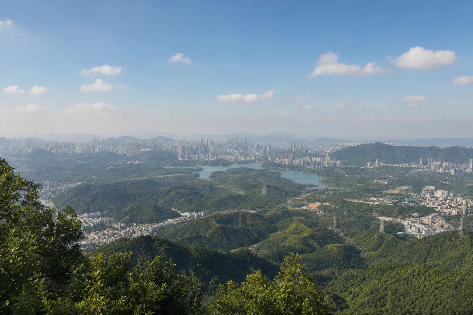
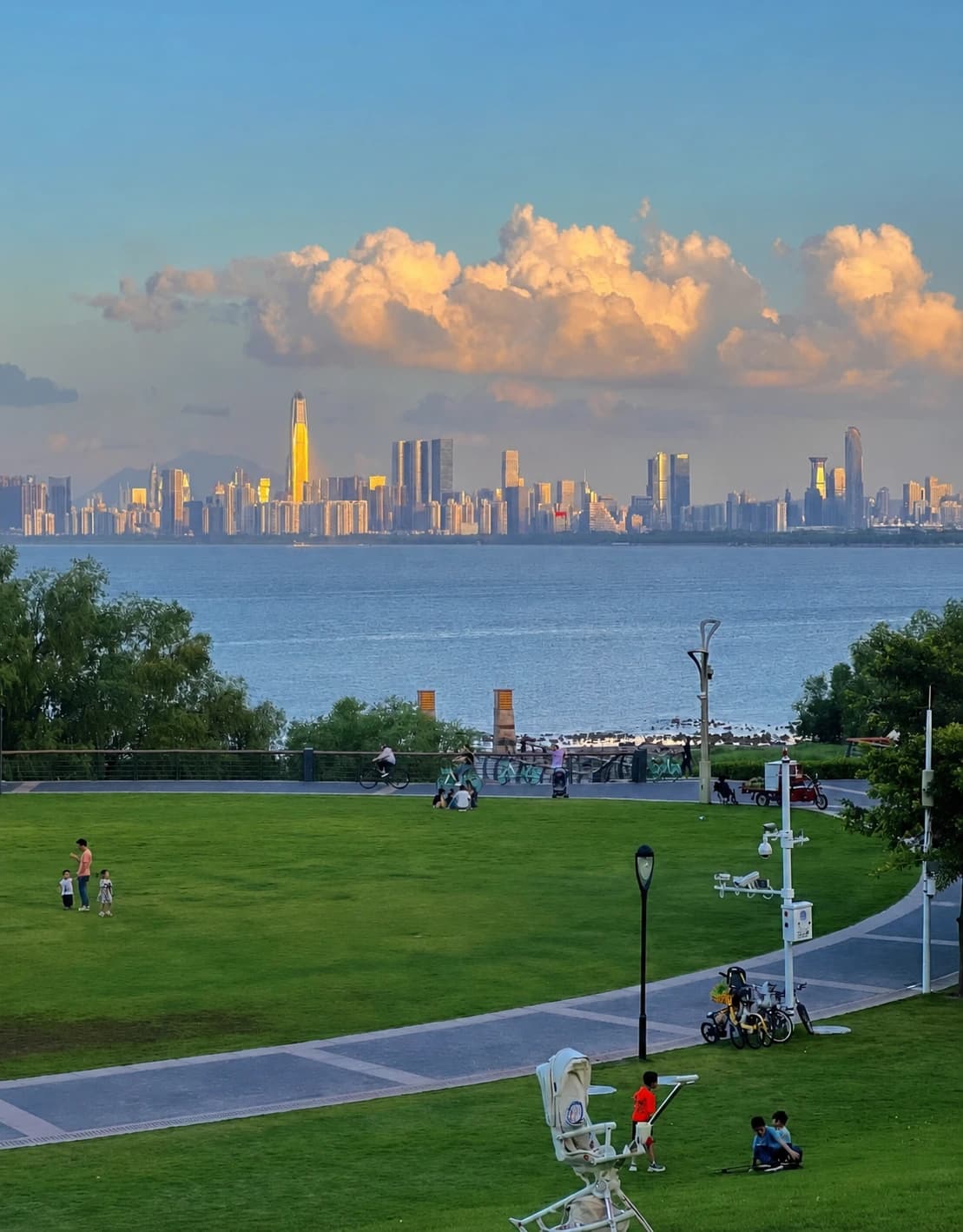
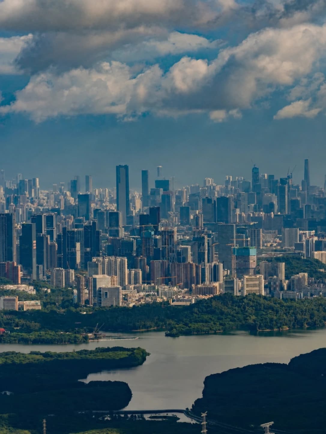
Yangtai's useful visual story is not a single landmark tower. The summit and ridge reveal how reservoirs, forested hills, dense residential districts and transport corridors interlock in northwestern Shenzhen. On a clear day the skyline feels continuous; in summer haze, the nearby ridges and water may be more legible than distant buildings.
Treat the view as weather-dependent. Morning often gives a better heat margin, but no hour guarantees clarity. Cloud, humidity and rain can reduce visibility while making stone and roots more slippery.
Heat, Rain and Trail Safety
- Start early in warm months and carry water based on your own route; do not depend on a summit stall.
- Wear shoes with wet-surface grip. A paved lower path does not represent the mountain trail above it.
- Avoid the hike during thunderstorms, heavy rain and immediately after severe rainfall. Streams and drainage channels can rise while shaded steps remain slick.
- Keep hands free on stairs and carry only a compact day pack. The old generic 30–50 litre packing advice is unnecessary for the short route.
- Save the visitor centre, entrance and emergency information offline, but follow closures and staff instructions on the day.
- Do not smoke or use flame in the forest.
Eat After the Hike, Not at a Fictional Summit Market
Dalang and the wider Longhua area are better places for a proper meal than the trail. Hakka stuffed tofu is a useful regional category: tofu filled with seasoned minced meat, pan-seared and finished in a light savoury sauce. Ask whether the portion is individual or shared, and choose a busy established restaurant with clear prices rather than a viral stall name that may change.

For a lighter post-hike meal, rice noodles or a simple soup are easier than a large banquet. Coconut chicken is widely available across Shenzhen and works well for a group, but it is a city dining option—not a food tradition unique to this mountain. Rehydrate before ordering alcohol or very spicy food in hot weather.
Where to Stay
Do not move hotels solely for a half-day Little Yangtai walk.
- Futian or central Nanshan: best when this is one outdoor branch within a first Shenzhen trip. Accept the longer Line 6 connection in exchange for better access to the rest of the city.
- Shenzhen North / Minzhi: useful when rail arrival, northern-city work or several Longhua stops dominate the itinerary.
- Dalang / Longhua: choose this only for an early hike, local commitments or a slower outer-district stay. Verify the real walking route to a metro entrance; “near Yangtai Mountain” can describe a property on the wrong side of a major road.
Compare Shenzhen hotels on Trip.com by the exact station, entrance, recent construction noise and late check-in terms.
Final Decision
Choose the greenway sample for shade and history, the Little Yangtai return for a first summit, and the twin-peak traverse only when a cross-park hike is the main purpose of the day. In every case, navigate to the Dalang visitor centre rather than a generic mountain pin, keep the route reversible until the ridge commitment, and let live weather and park notices override an old screenshot.