Ganzi
Ganzi (Garzê) Tibetan Autonomous Prefecture is where western Sichuan opens into broad grasslands, glacier valleys, sacred mountain scenery and long highland roads. Its scale is the attraction: the road from Kangding toward Xinduqiao and Tagong feels completely different from a day inside Daocheng Yading or a forest-and-glacier stay in Hailuogou.
The strongest first trip begins with one corridor rather than a prefecture-wide loop. Choose Kangding for the most flexible introduction, Daocheng Yading for a dedicated high-mountain journey, or Hailuogou and Moxi for a glacier-and-forest sequence. Each deserves its own base, full scenic day and transfer margin.
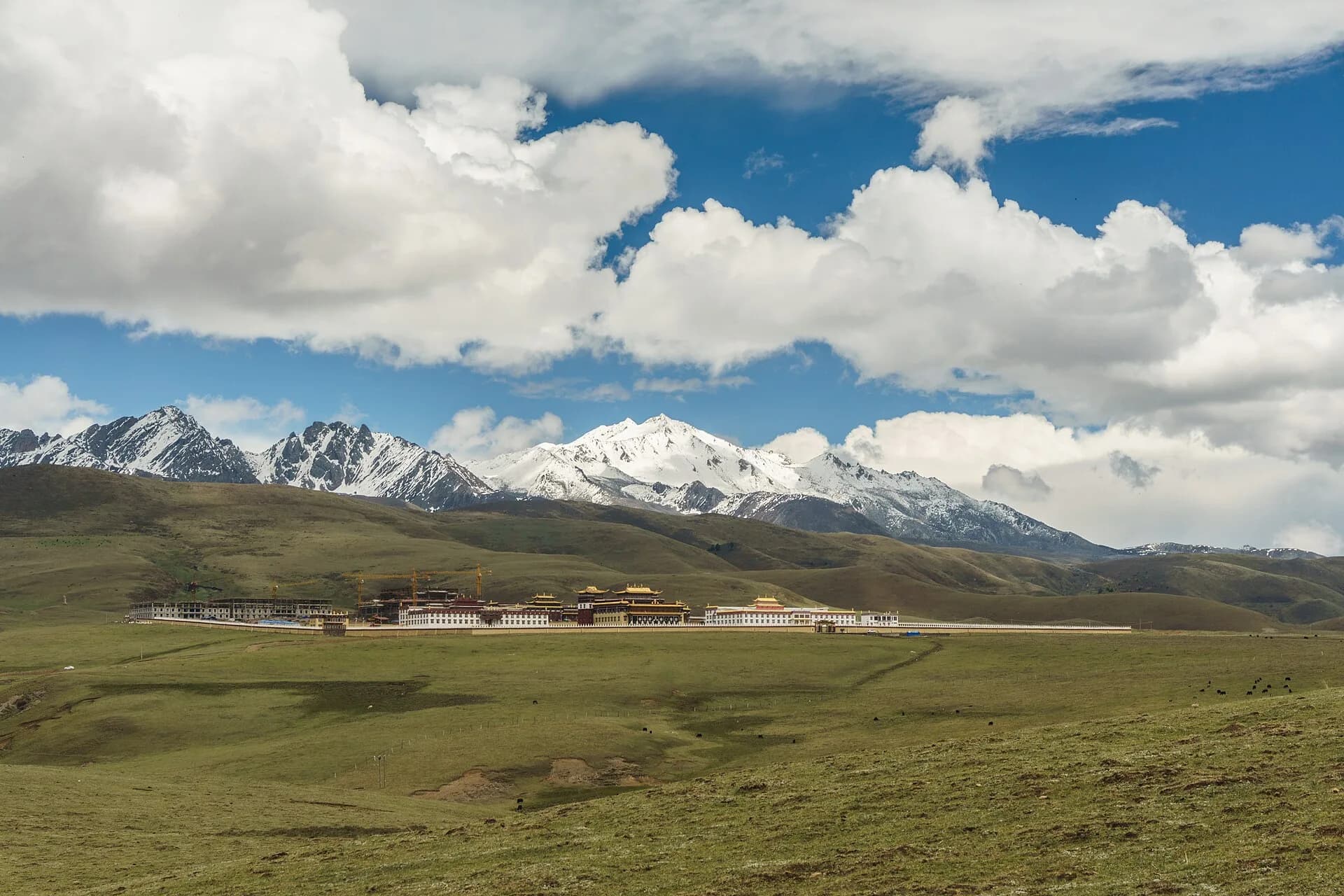
Photo: Honza.jerman · Source · CC BY-SA 4.0
Choose the Ganzi trip that fits your time
| Corridor | Best for | Minimum useful trip shape | Best base |
|---|---|---|---|
| Kangding | A first Ganzi visit, a lively river city and flexible day choices | Arrival and reset, then one full day for Mugecuo or the Xinduqiao–Tagong road; add another night to do both | Central Kangding |
| Daocheng Yading | Sacred peaks, meadow-and-lake landscapes and a walking-focused mountain day | Reach Shangri-La Town, protect one complete scenic day and keep a departure margin; add time for a longer route | Shangri-La Town near Yading |
| Hailuogou + Moxi | Glacier scale, forest layers and a lower sleeping base | Reach Moxi, devote a full day to the scenic-area transport sequence and leave the next transfer flexible | Moxi |
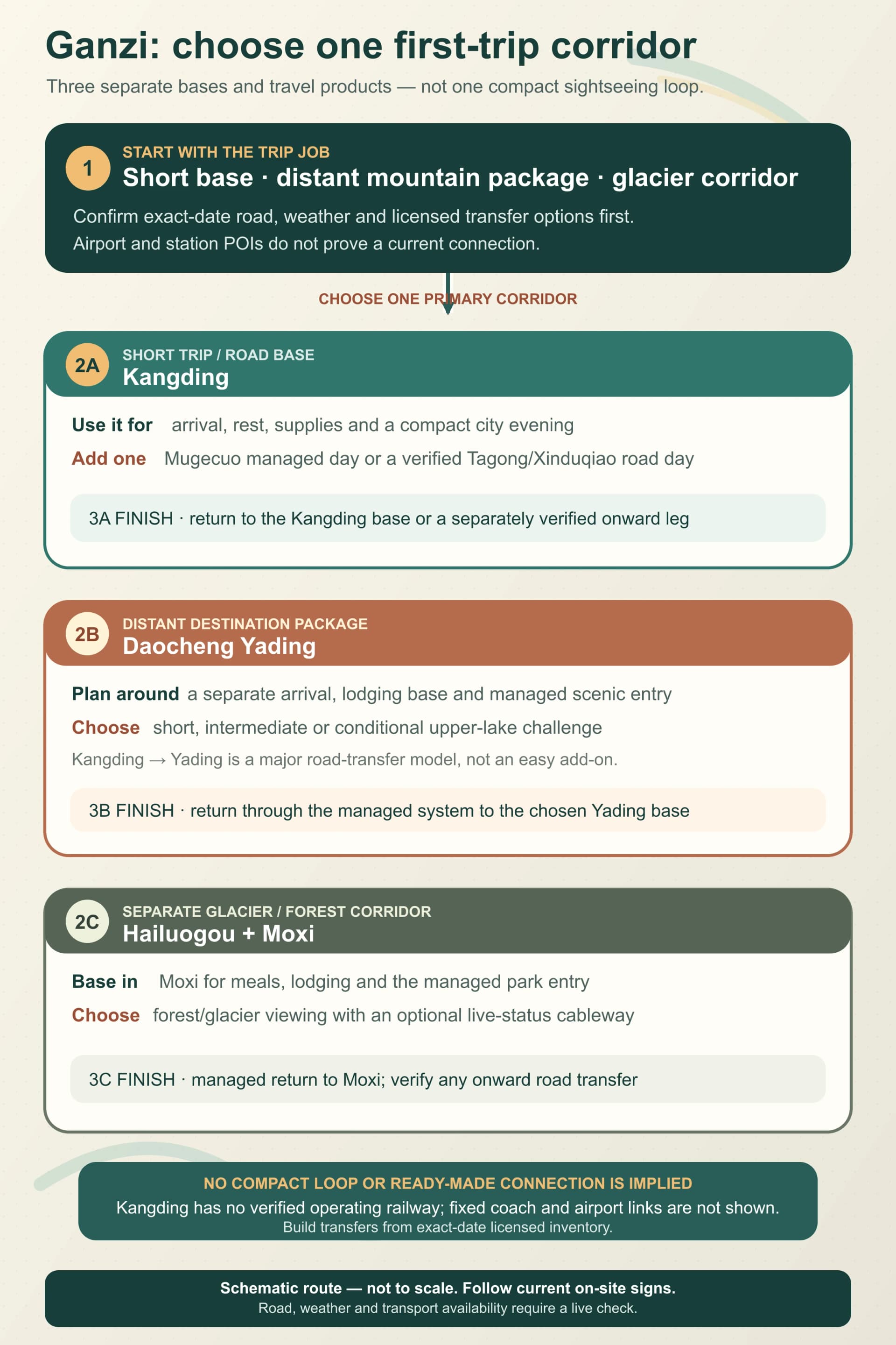
The diagram is a trip-product chooser, not a live transport map. Road access, scenic-area operation, vehicle availability and weather controls must be confirmed for the travel date.
These are separate travel products, not three stops to compress into consecutive day trips. Ganzi administers a vast area, and the mountain roads between bases are part of the schedule.
Kangding: the flexible first base
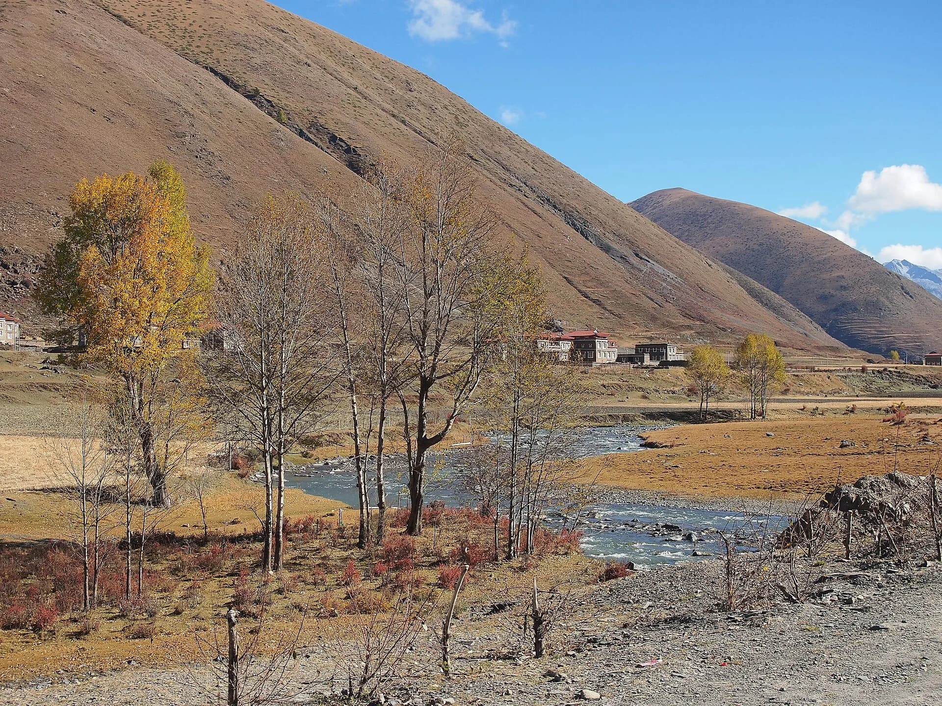
Kangding combines a compact river-centre arrival, food and supply stops, and two strong full-day choices. Mugecuo is the contained option: scenic-area transport reaches the upper lake and lets you choose selected lake, forest and hot-spring-area stops on the way down. The Xinduqiao–Tagong road day trades a managed scenic area for changing valley light, grassland scale and Tibetan town and monastery context.
Kangding's urban base sits at about 2,560 m, making an unhurried first evening useful before either day. Stay near the centre for a straightforward arrival, or choose the Mugecuo/Zhonggu side only when the property's exact location supports that specific plan.
Daocheng Yading: give the mountains a dedicated journey
Daocheng Yading is the commitment for travellers who want sacred mountain views, broad meadows and a route chosen around walking capacity. The useful base is Shangri-La Town near the visitor entrance, not Kangding, and the useful decision is whether the scenic day will be short, intermediate or long.
Protect an arrival night before the main visit. The scenic-area transport system can gain height quickly, and visibility, weather and individual response can change which route feels rewarding. A deliberate shorter product can still deliver the core mountain landscape; the longest lake route belongs to a well-prepared day with an early turnaround rule.
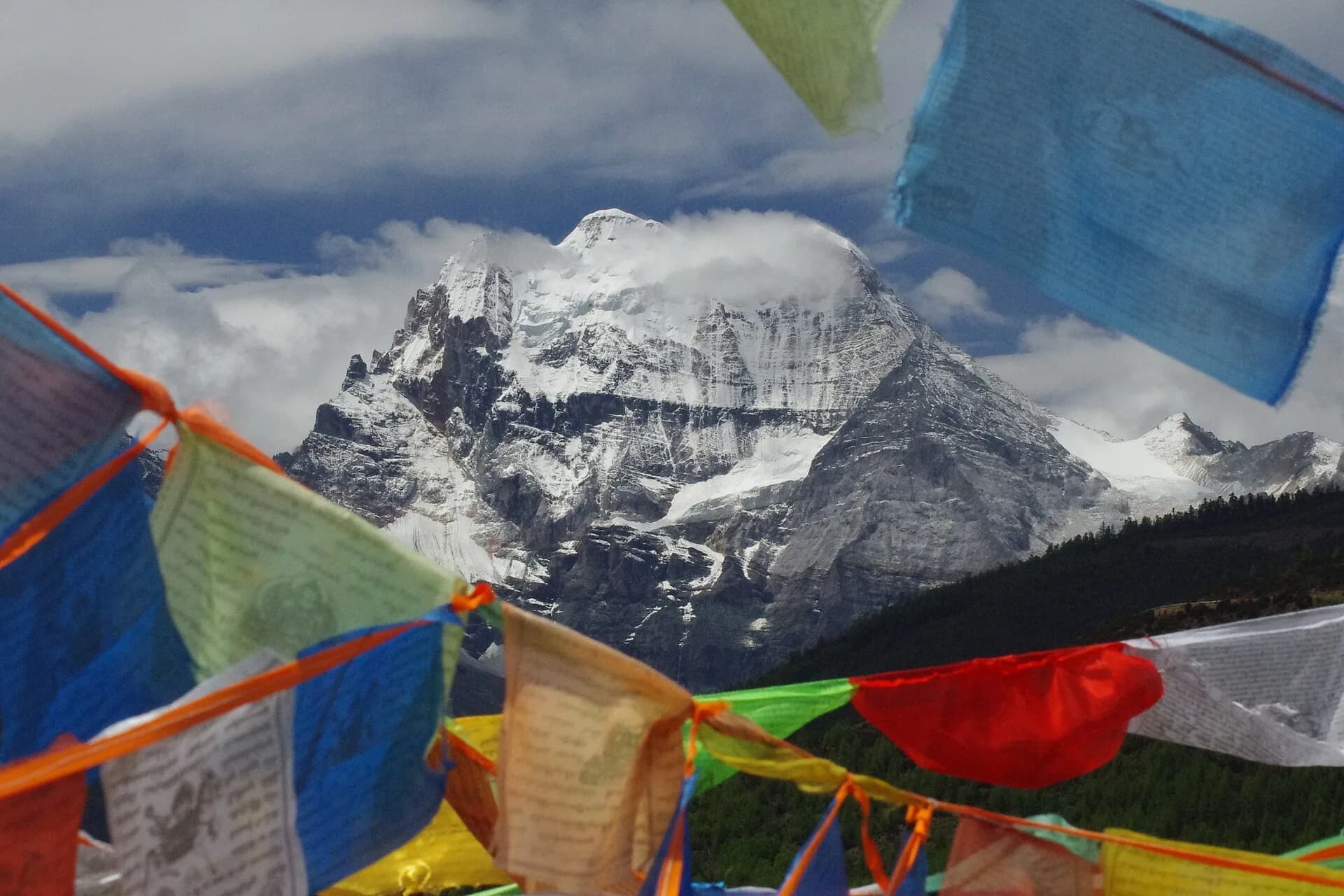
Photo: Toni Wöhrl and Sang Cai · Source · CC BY-SA 4.0
Hailuogou and Moxi: forest, glacier and vertical contrast
Hailuogou offers a different mountain product. Moxi, at roughly 1,580 m, is the practical base; the scenic-area transport sequence then moves through forest toward much higher glacier viewpoints. This vertical contrast is the reason to stay rather than treat the valley as a hurried roadside stop.
Choose the current transport layers according to visibility, weather and the viewpoint you want. Keep the evening in Moxi simple, then protect a full scenic day and enough road margin for the next move.
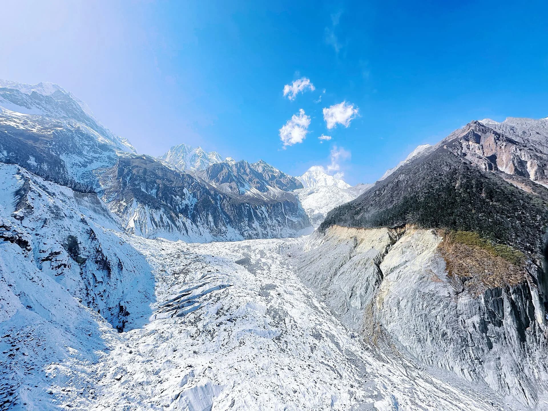
Photo: Chatsven · Source · CC BY-SA 4.0
Understand the road scale before combining bases
AMap planning models checked on 21 August 2026 measured Chengdu East Railway Station to Kangding Coach Station at 269.7 km/about 3 hours 28 minutes by car, and central Kangding to Yading's new visitor centre at 496.2 km/about 10 hours 23 minutes by car. These are point-to-point driving models, not live road conditions, coach schedules or promises of door-to-door time.
There is no operating passenger railway into Kangding. Build each intercity leg from a confirmed vehicle or current operator product, then add margin for mountain weather, road controls, rest stops and luggage. If a flight or train depends on the same day's road transfer, choose a conservative connection.
See the wider prefecture as a future extension
Danba's stone watchtowers and villages and the much farther Seda corridor reveal more of Ganzi's cultural and geographic range. They are best treated as separate long-road choices after the first corridor is settled, not as automatic detours between Kangding, Yading and Hailuogou.
Choose the base before booking the room
- For Kangding, search Kangding hotels on Trip.com, then compare the exact property pin with Love Song Square, the coach station and your confirmed vehicle pickup. A city label does not guarantee central access, parking or an airport transfer.
- For Yading, search hotels around Daocheng Yading and Shangri-La Town, then confirm the distance to the visitor entrance, heating, luggage handling and whether the property accepts the document you will present.
- For Hailuogou, search Moxi and Hailuogou hotels, then verify the exact town location and any claimed scenic-area connection directly with the property.
Altitude, weather and cultural care
Use the first evening in each base to settle in, eat, hydrate and prepare layers for large temperature changes. Vehicle-assisted scenic days can still involve rapid altitude gain. If headache, dizziness or breathing difficulty develops, stop increasing exertion, reassess the plan and seek help from scenic-area staff or medical services when needed.
Mountain weather can alter visibility, road conditions, transport operation and trail access. Rain risk is especially important during the broader May–September flood season, while snow and ice can affect exposed passes in colder periods. Follow current police, scenic-area and fire-prevention controls; do not build a day around a roadside stop or trail that is not officially open.
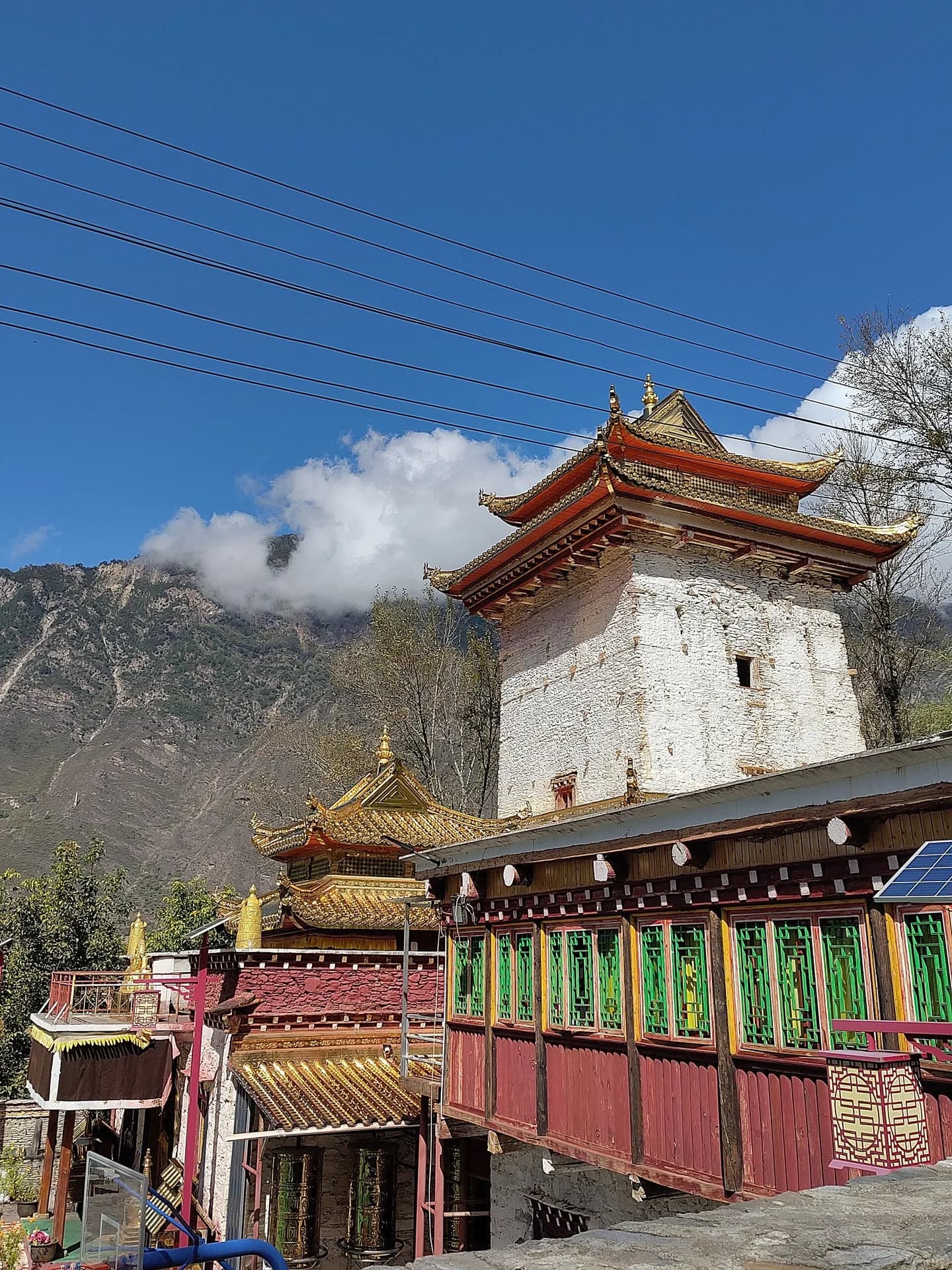
Ganzi is a living Tibetan region. At monasteries, stupas, prayer-flag sites, villages and grazing land, follow posted rules, ask before photographing people, keep drones grounded unless permission is explicit, and give livestock and local traffic the road space they need.
The trip becomes much easier once the first choice is made: one corridor, one dependable base and one protected mountain day.