Dalian Binhai Road
Binhai Road is a long coastal road system, not a single uninterrupted pedestrian trail. Carriageway, boardwalk, park path, beach access and viewpoint can diverge. Storm damage, construction, traffic control and tide can break yesterday’s route.
One recorded route covered about 22.8 km in 7–8 hours from the Sea Rhythm area toward Tiger Beach, but its strongest scenery came in the first 5–10 km and later sections felt repetitive. A near-water shortcut disappeared under the rising tide, forcing a tiring road detour. The lesson is to choose less—not to repeat the endurance challenge.
For most travellers, the right plan is 3–6 km with two reliable exits or up to 10 km for an experienced walker in stable conditions. Allow 2–5 hours depending on gradient, stops and transport.
West or east? Make this decision first
Choose the western bays for a first visit, simpler services, city-and-sea context and easier taxis. Choose the eastern coves for stronger cliffs and quieter landscape, accepting more climb, fewer exits and greater dependence on weather and route continuity.
Do not combine both sides to prove you “completed Binhai Road.” They serve different days and are separated by attractions, traffic and discontinuous pedestrian space.
Choice A: western bays for first-time visitors
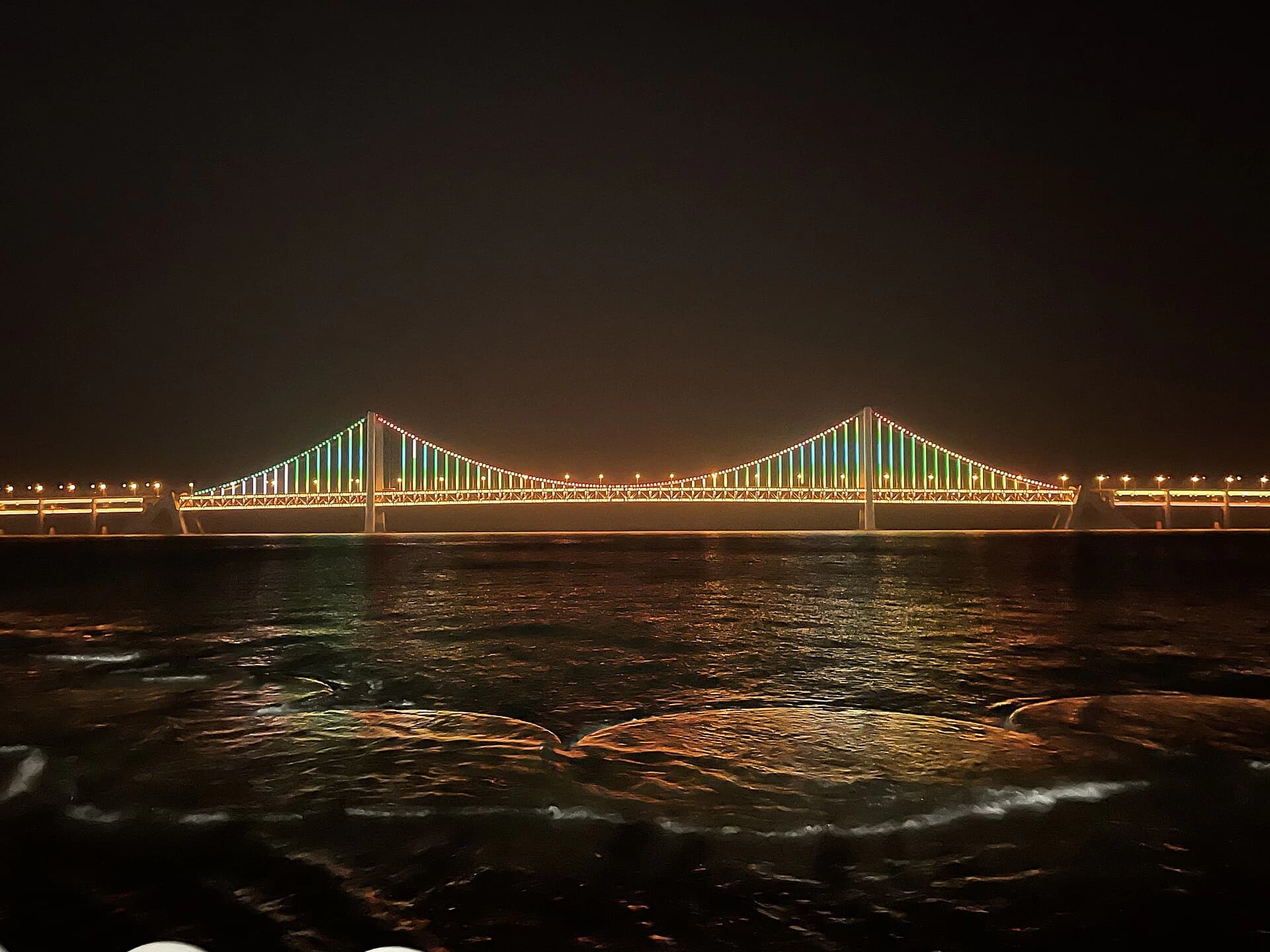
Use Xinghai Square, a legal bridge viewpoint and Fujiazhuang as anchors. This gives city-and-bay context, easier exit choices and beaches with services. Recent visitors found Silver Beach photogenic but commercially crowded in places, while Fujiazhuang offered more practical facilities and longer-stay value.
AMap’s planning result from Xinghai Square to Fujiazhuang Park is about 3.8 km / 52 minutes on foot. The mapped bus takes about 43 minutes and still includes 2.2 km walking; a car route is 4.9 km / 34 minutes. Choose the mode before you become tired.
A practical western half day
- Start at Xinghai Square for the scale of the bay, not for a guaranteed sunset or event.
- Use only a currently open, signed viewpoint or park path for bridge and coast views.
- Continue to Silver Beach or Fujiazhuang according to current access and your goal. Silver Beach is a shorter visual stop; Fujiazhuang works better when facilities and a longer rest matter.
- Leave by taxi or confirmed bus instead of forcing a return walk along the same road.
Allow 3–5 hours with a beach pause. Shorten it in heat, strong wind or low visibility.
Choice B: eastern coves for stronger landscape
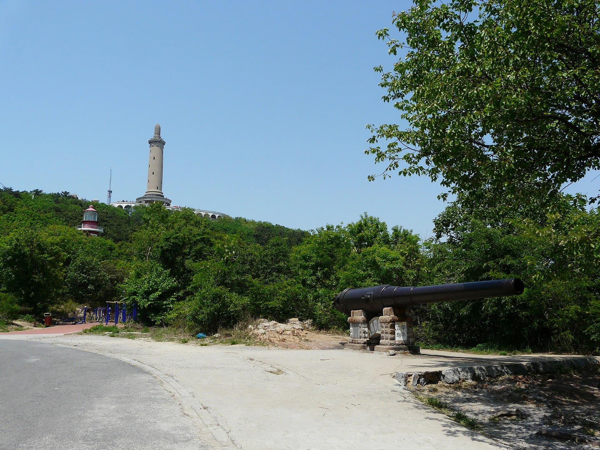
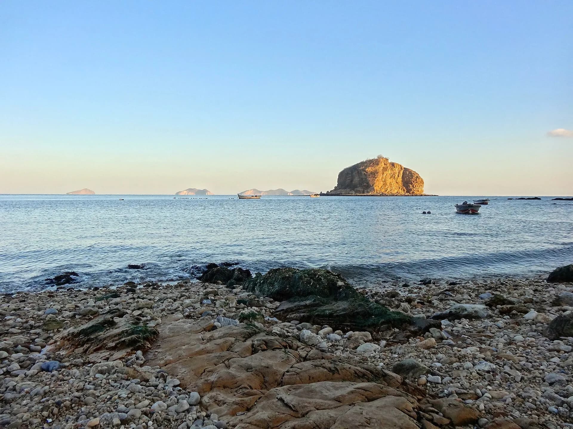
The Sea Rhythm–Chenxi Beach–Bangchuidao–Amber Bay–Tiger Beach side offers cliffs, coves and longer landscape sequences. It also creates harder gates: climbs, ticket boundaries, tide, sparse exits and road sections.
Do not copy a whole social route without checking every segment. Pick a verified start and finish near active transport. Stop around the 5–10 km mark if the best scenery is behind you or conditions worsen. Amber Bay and Fisherman’s Wharf are a practical short pair: AMap estimates 1.9 km / 26 minutes on foot by public roads.
Three eastern formats
- Short and resilient: Fisherman's Wharf to Amber Bay, about 1.9 km / 26 minutes of mapped public-road walking before stops. Choose it for a 1–2 hour coast sample with relatively simple exits.
- Landscape sampler: take a taxi between two verified coves or parks, then walk only the signed internal paths. This is often better than filling every road gap.
- Long hike: attempt 5–10 km only after checking each gate, pedestrian section, tide, daylight and exit. Carry enough water and be willing to stop early.
Bangchuidao, Tiger Beach and individual park gates may have separate tickets or access controls. A Binhai Road location does not make every adjoining property freely passable.
Non-negotiable safety rules
- Never enter a near-water shortcut that is wet, unsigned or affected by rising tide.
- Do not walk a vehicle shoulder where no legal pedestrian space exists.
- Avoid cliff edges, closed stairs and unofficial photography paths.
- Carry water and sun protection, but do not assume every seasonal kiosk is open.
- Save an exit map location and last public-transport option before starting.
- Turn back for fog, lightning, heavy rain, strong wind or a closure barrier.
Do not feed gulls or other wildlife as a route activity. Local rules, wildlife health and aggressive bird behaviour can change; observe from a distance and keep food packed away.
How to make a live route in five steps
- Check the city or park notice, weather, wind, visibility and tide that morning.
- Resolve the exact start gate and exit in AMap—not just the name of a large park.
- Inspect every apparent discontinuity between promenade, road and park before committing.
- Ask staff about closures and save a taxi pickup point while you still have signal and daylight.
- Set a turnaround time. A screenshot from last month is not permission to cross today.
If mobility or daylight is limited, use a taxi between two viewpoints and walk only inside verified parks. There is no prize for filling the gaps along a road.
Families, mobility and solo walkers
A coastal boardwalk is not automatically step-free. Stairs, steep connectors, rough surfaces and low barriers appear between otherwise easy sections. Families with a stroller and travellers with limited mobility should choose one park or promenade after confirming the accessible entrance and return, not rely on the long route name.
Solo walkers should share the planned endpoints and return time, keep the phone charged and avoid isolated unofficial paths. In cold or windy weather, exposure becomes serious before distance does.
What to carry
Bring water, sun and wind protection, shoes with grip, a charged phone and a small snack. Add a light layer even on a warm city forecast. Do not assume seasonal kiosks, toilets or charging points are open. Carry out rubbish and keep clear of working roads and private property.
Verdict
The best Binhai Road experience is a selected 3–10 km coastal section with two protected exits and permission to stop early. A full-route endurance walk usually sacrifices the relaxed sea time most visitors came for.