Dalian in 3 Days: Western Coast, Port City and Lushun History
Separate Dalian into one measured western-coast day, one central architecture-and-port day and one dedicated Lushun history day instead of chasing scattered photo stops.
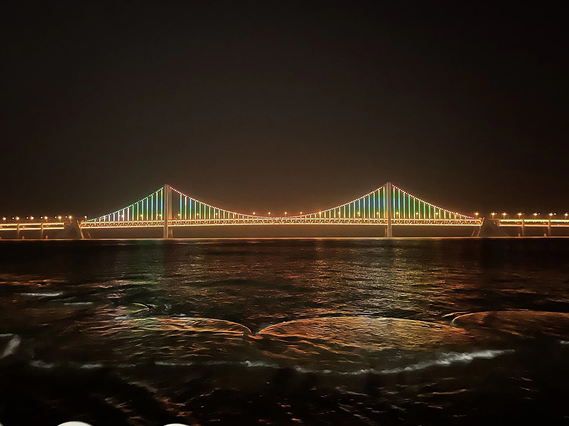
Photo: Yingxi120 · Source · CC BY-SA 4.0
Book the essentials for this itinerary
Stay, transport and relevant experiences for this route
DAY 1
Dalian Railway Station → Xinghai Square · 7.7km
|
About 18 min by car in the 27 August 2026 AMap model; the mapped subway transfer took about 1 hr and included 1.75km of walking
attraction
Xinghai Square and Bay Orientation LoopXinghai Square and B...
Xinghai Square → Dalian Binhai Road Fitness Trail west reference · 1.2km
|
About 17 min on foot in the 27 August 2026 AMap model; this reaches a verified trail reference, not the end of the coast day
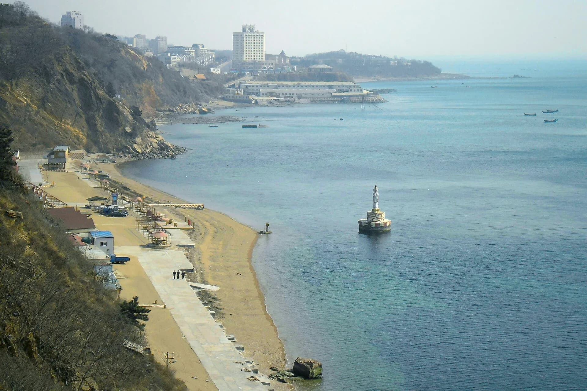
attraction
Choose One Signed Western Binhai Road SegmentChoose One Signed We...
DAY 2
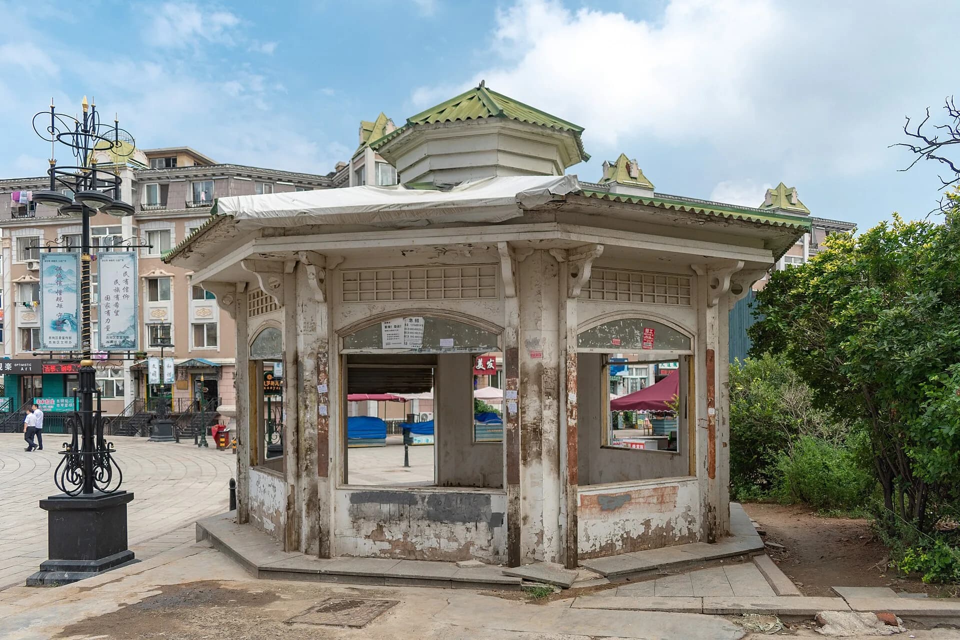
attraction
Russian Street Architecture and Context StopRussian Street Archi...
Russian Street → Donggang Waterfront · 6.6km
|
About 17 min by car in the 27 August 2026 AMap model; the mapped metro trip took 52 min and included 2.07km of walking
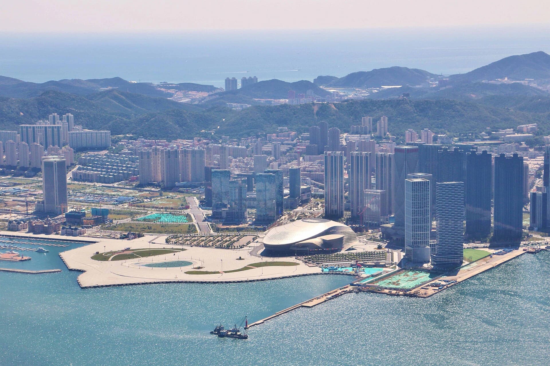
attraction
Donggang Modern Waterfront EveningDonggang Modern Wate...
DAY 3
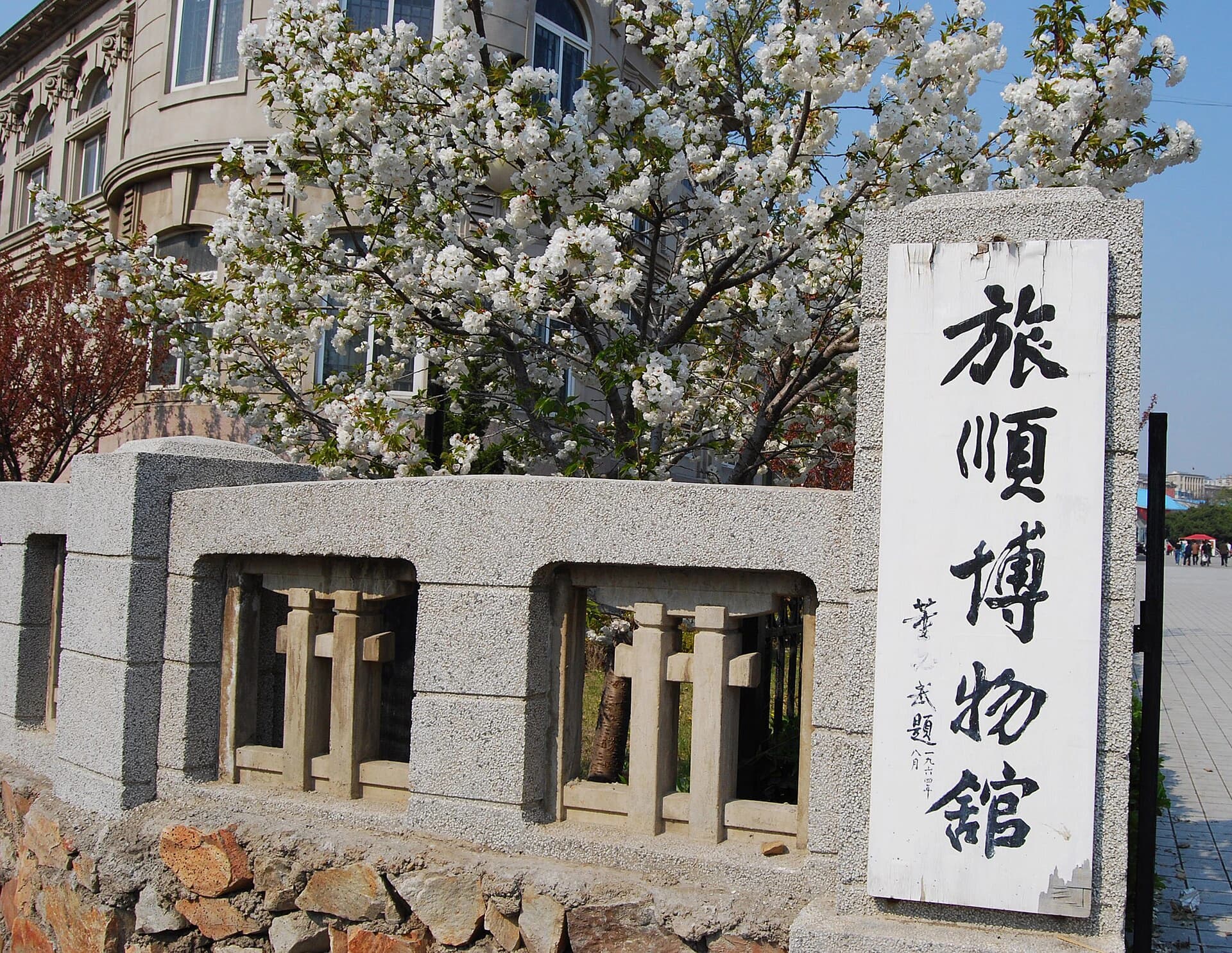
Lushun Metro Station → Lushun Museum · 6.5km
|
About 12 min by car in the 27 August 2026 AMap model; the mapped local bus took 43 min with 708m of walking
attraction
Lushun Museum District Focused History RouteLushun Museum Distri...
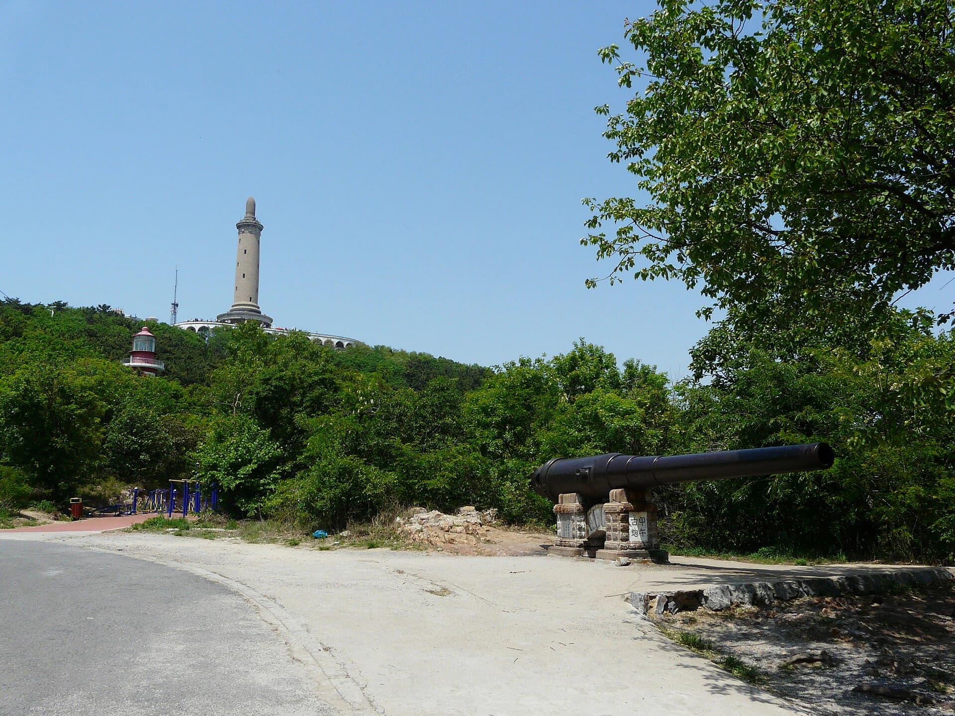
Lushun Museum → Baiyu Hill Scenic Area · 5.8km
|
About 14 min by car in the 27 August 2026 AMap model; fit visitors can use the 2.5km / 34 min public-road walk, while the mapped bus took 42 min
attraction