The Bund Shanghai
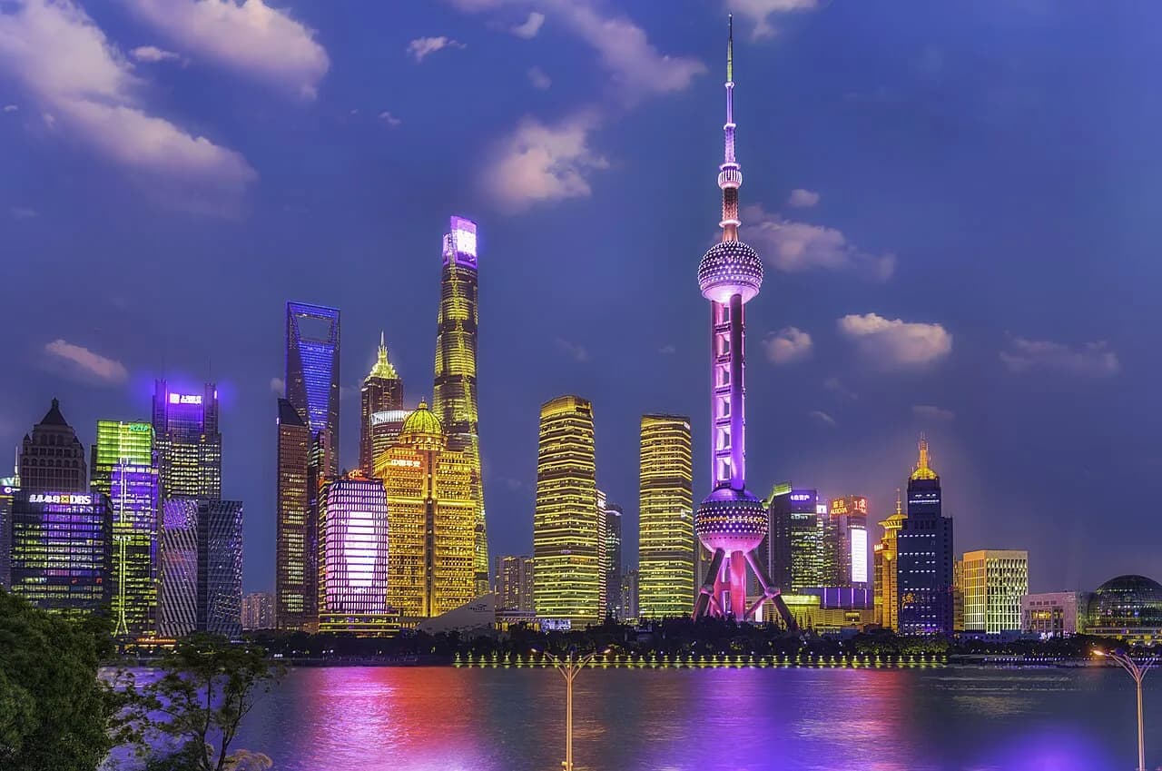
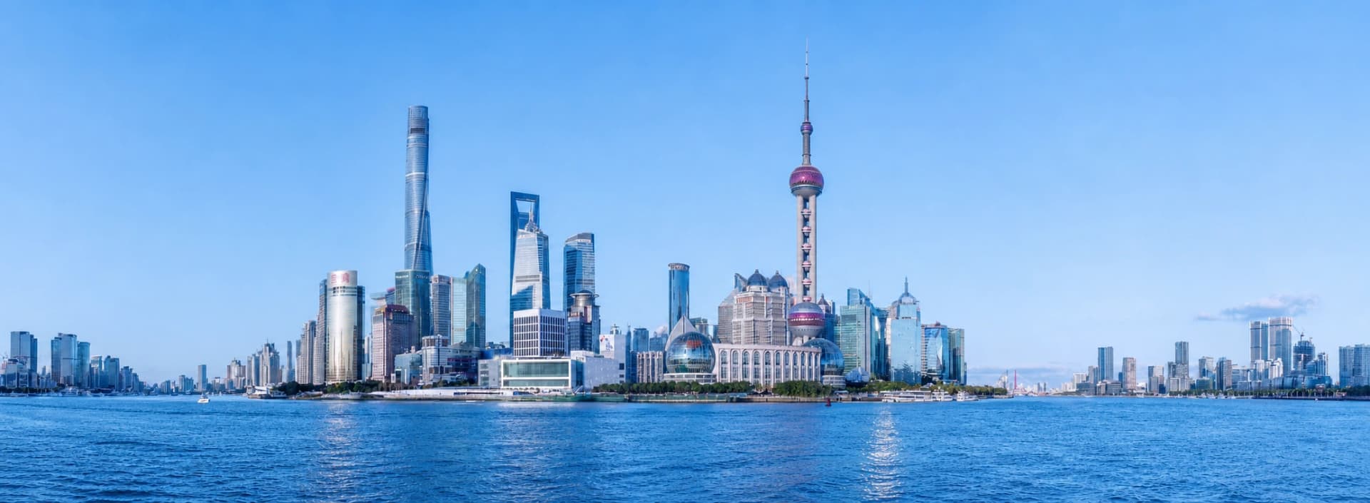
The Bund (外滩, Wàitān) is Shanghai's 1.5-kilometre historic waterfront between East Yan'an Road and Waibaidu Bridge. The river promenade looks east to the Lujiazui skyline, while the former banks, trading houses and clubs behind it explain how modern Shanghai grew as a port and financial centre. The useful first visit is a linear walk, not a citywide loop marketed as “the Bund.”
Allow 45–75 minutes for the central skyline section, 2–3 hours for a south-to-north architecture walk, or a half day when adding a public ferry and Lujiazui waterfront.
Pick the visit before arriving
- Skyline first: enter from Nanjing East Road, spend time around Chen Yi Square and the central promenade, then return to the same metro area. Best for limited time or tired legs.
- Architecture walk: start near East Yan'an Road and walk north to Waibaidu Bridge. This keeps the historic buildings in sequence and avoids backtracking.
- Two-bank outing: complete the central or southern Bund, take a normal Huangpu ferry from a currently operating nearby pier, and finish along the Lujiazui waterfront. Check the pier and last service live.
Do not combine the Postal Museum, north Suzhou Creek bridges, the entire Bund, a southern ferry and all Lujiazui towers under a casual “5 km” label. That is a much longer urban day with river crossings and separate opening hours.
Two-hour south-to-north architecture walk
1. East Yan'an Road and the southern edge
Begin near the southern end of the protected building group. Look for the former Asia Building and the Gutzlaff Signal Tower area, then establish the basic contrast: masonry façades and street-facing entrances to the west, open river and Pudong towers to the east.
2. The institutional centre
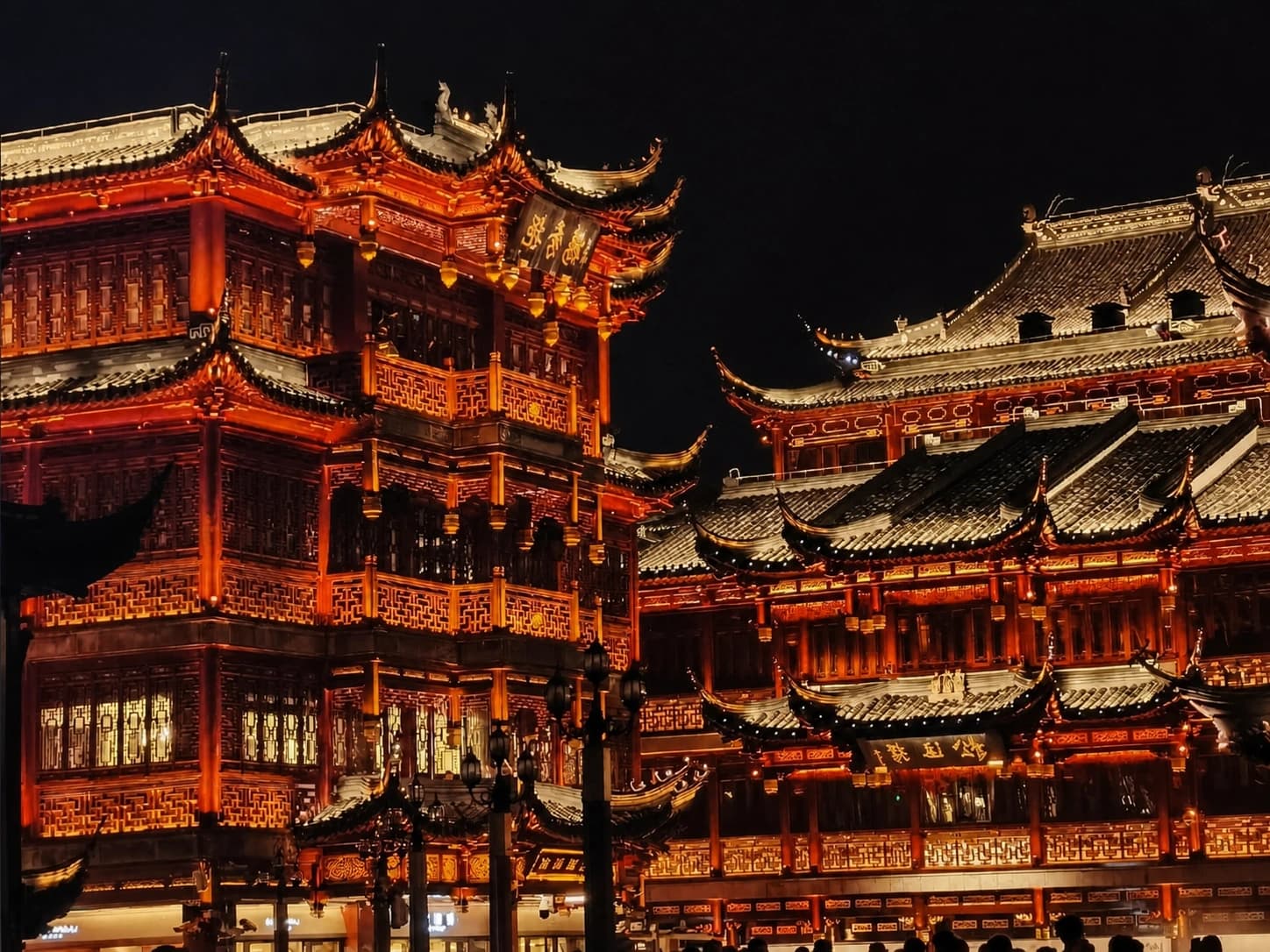
Continue north past the former HSBC Building and Customs House. Compare the dome, columns, stone cladding and clock tower instead of treating all 52 protected buildings as one style. They represent different institutions and periods, even when the whole row is described as an “international architecture exhibition.”
Chen Yi Square creates a useful pause near the Nanjing East Road axis. This is the easiest point to shorten the route and return toward the metro.
3. Peace Hotel and the northern façades
Continue toward the Peace Hotel and the former Bank of China building. Look up at roof silhouettes and building setbacks, then cross only at marked crossings. The best architectural view is often from the river side of the road, while doors, plaques and current uses require the building side.
4. Bund Origin and Waibaidu Bridge
Finish through the Bund Origin/Waitanyuan area toward Waibaidu Bridge, where Suzhou Creek meets the Huangpu. The bridge and river junction give the walk a clear geographic ending. Continue along the North Bund only if you planned extra distance; otherwise use a nearby metro or taxi pickup rather than retracing the entire promenade.
How to read the waterfront
The most useful visual comparison runs in three layers:
- Historic finance behind you: banks, trading firms and clubs used architecture to project stability and international reach.
- Municipal promenade beneath you: flood-control walls, viewing terraces and road crossings shape the modern public experience.
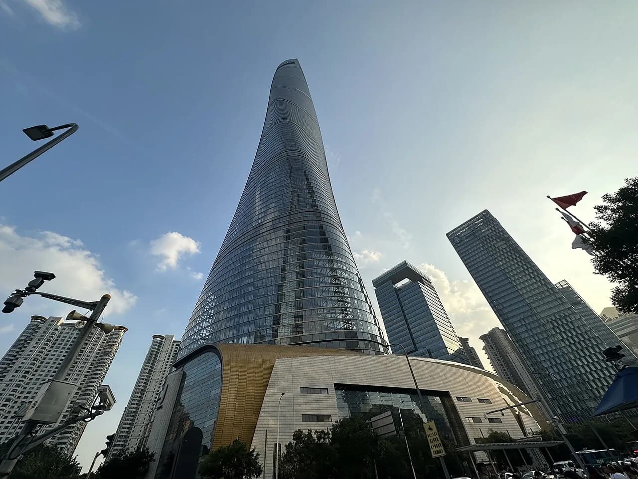
- Reform-era skyline across the river: the Oriental Pearl Tower and later skyscrapers shifted the city's visual centre toward Pudong.
Move between the river rail and the building side at a few chosen points. Staying only at the rail produces repeated skyline photographs; staying only beside the façades loses the relationship between the two banks.
Best time and crowd strategy
- Early morning: lowest crowd pressure, softer light on the promenade and active local exercise; the skyline may be hazy.
- Daytime: best for façade details and plaques. Add an indoor museum or gallery only after checking its current exhibition and opening day.
- Sunset into blue hour: strongest transition from stone architecture to illuminated skyline, but also the busiest period.
- After dark: good for broad city views. Landmark lighting can change for energy policy, events or maintenance, so do not rely on a fixed switch-on time.
On a crowded evening, walk the building side for part of the route, then use one or two river viewpoints instead of forcing a continuous position at the railing. Keep children away from cycle traffic and busy road crossings.
Ferry, cruise or no boat
A public ferry is the practical choice when the goal is simply to cross the Huangpu and see both banks. Confirm the operating pier, destination, accepted payment and last return before walking south. A sightseeing cruise is a separate paid product with a longer river view, assigned pier and boarding time. See the Huangpu River cruise guide before booking.
Skip the boat when visibility is poor, the promenade itself is your priority, or a timed evening reservation makes a pier detour risky. Lujiazui is also reachable directly by metro.
Getting there and leaving well
For a central first visit, use Nanjing East Road Station on Lines 2 and 10 and allow roughly 10–15 minutes to reach the waterfront through busy pedestrian streets. For the southern start, choose the metro station and walking route shown by a live map rather than relying on an old bus list. Vehicle drop-offs can be slow during evening controls.
Choose the exit based on the next stop:
- Nanjing East Road: shopping, People's Square direction or the simplest metro return.
- Waibaidu Bridge: Bund Origin, North Bund or Suzhou Creek.
- Southern promenade: Shiliupu, a confirmed ferry/cruise pier or the Old City/Yu Garden direction.
The promenade is broadly step-free, but access ramps, road crossings and temporary barriers can add distance. In rain or extreme heat, shorten at Nanjing East Road rather than committing to the full waterfront.
Food and practical choices
River-view restaurants inside historic buildings charge for location and require advance planning. For an ordinary meal, leave the waterfront and compare a few blocks around Nanjing East Road or the Old City by menu, queue and total price. Avoid building the guide around named restaurants whose chefs, access and opening status change.
Carry water, especially in summer, but keep the bag light. Wind is stronger beside the river than on inland streets, and winter evenings feel colder than the temperature suggests.