Qiyun Mountain
Qiyun Mountain combines a protected cliff landscape, Taoist religious sites, rock inscriptions and an inhabited mountain settlement. The visitor system also includes a cableway, a separate visitor vehicle and changing lower-town entertainment products. They are not interchangeable parts of one ticket.
Recent route reports expose two recurring errors: assuming the cableway removes the summit stairs, and following a third-party “no-backtracking” track into a steep, poorly defined descent. Avoid both.
Choose one of three workloads
- Short core: use the confirmed cableway ascent, visit the nearer religious and rock-art core, turn around before the harder rear branches, then use the verified final descent.
- Longer official circuit: add farther developed-path branches only when weather, pace and last transport allow.
- Full stair approach: treat this as a demanding upper-bound hike, not the default first visit.
Choose the exit before the trail. Cableway descent and visitor-vehicle descent may finish at different places and operate under different tickets and cutoffs.
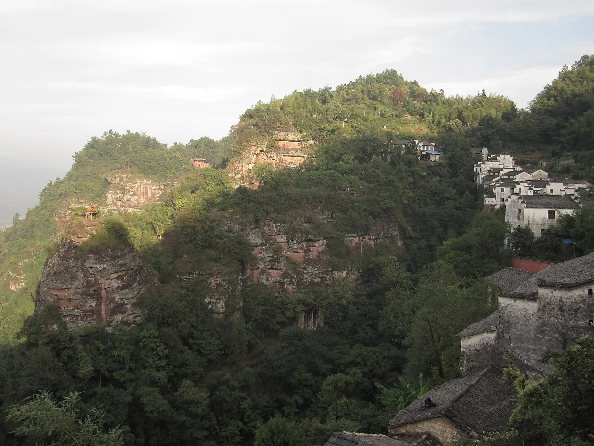
Photo: Julienfuchs · Source · CC BY-SA 3.0
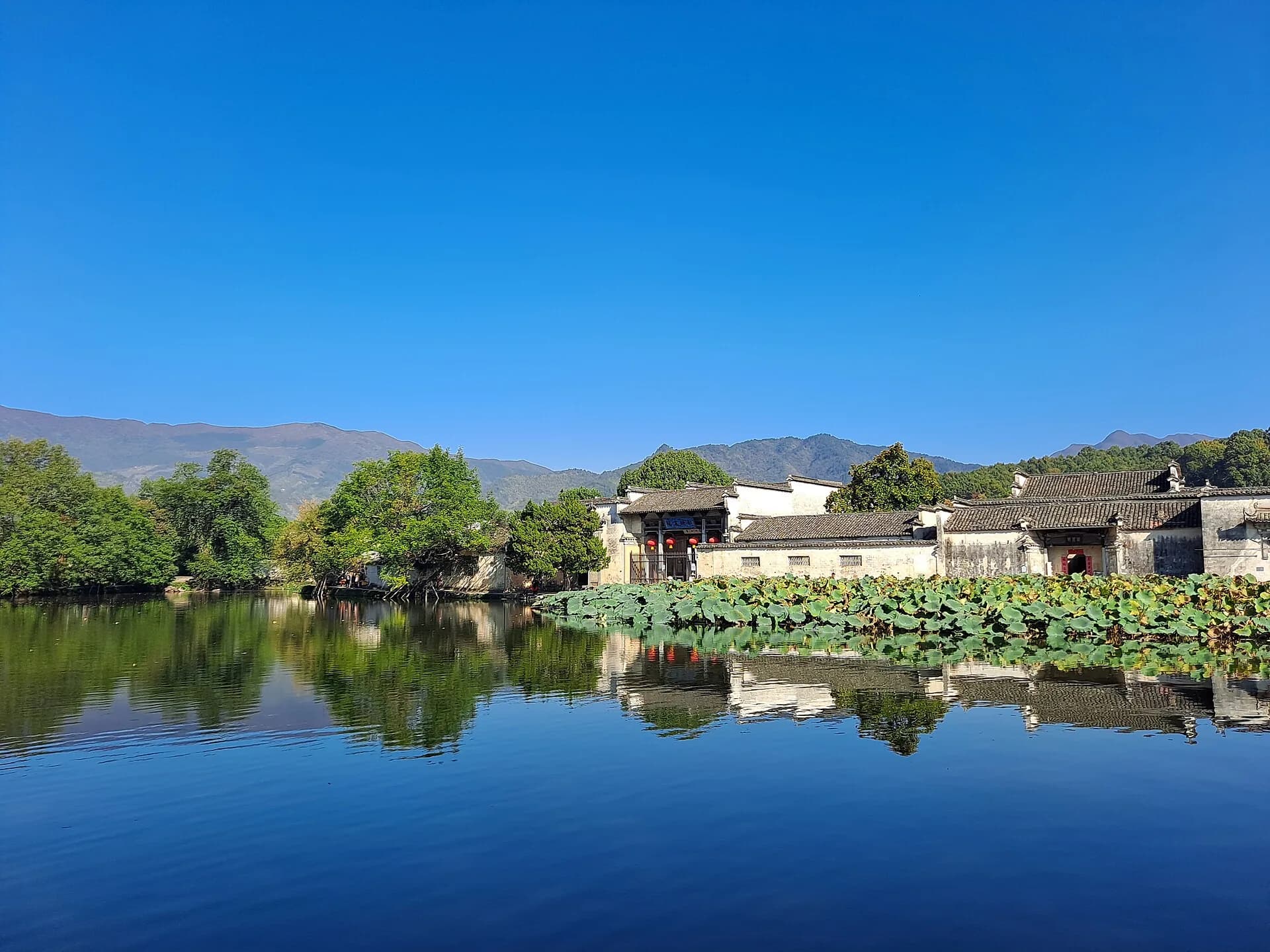
The panorama shows landscape context. It does not mark an open trail, safe shortcut, cableway station or current visitor boundary.
Safety boundary
Protected-area rules prohibit entering undeveloped or closed sections. Do not use a third-party track to create a perfect loop, scramble down an unmarked slope, camp in a restricted area or cross a barrier because another traveler uploaded a GPS trace.
Rain makes stone and soil slippery; heat and exposed stairs increase effort. Set a turnaround time based on the final verified descent. Remove optional out-and-back branches before cutting the transport buffer.
Religious spaces remain active. Follow photography signs, keep voices low, do not interrupt worship and do not treat inscriptions or cliff faces as climbing holds.
Keep lower-town products separate
Yuehua Street and the mountain heritage route are different from contemporary Xiaoyao Street, rafting and night performances below. Current bundles and shows can change after visitor feedback or operating adjustments. Mention them only from a dated notice and confirm whether they affect the transport chain.
AMap verifies Qiyun Mountain Scenic Area and the Yuehua cableway as distinct nodes. From Huangshan North Station, the cableway is about 27.3 km / 41 minutes by car; the mapped public option is roughly 1 hour 36 minutes. Confirm cableway operation, foreign-passport purchase, exact gate and final return before departure—the map location proves location, not live operation.
Final verdict
Qiyun Mountain is strongest as a selective Taoist-landscape visit. Pick a short or long official route after fixing the descent, keep every step on developed open paths and treat lower-town entertainment as a separate optional product.